
Black Tor (Avon) stone row Cairn
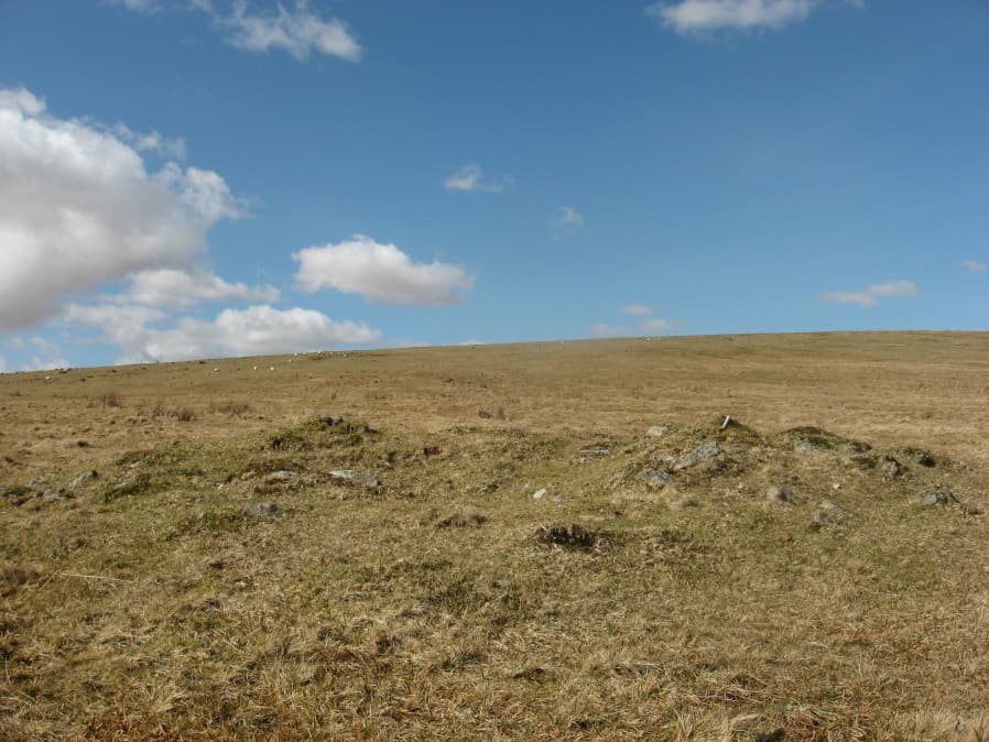
Photo taken on 25-03-2016
Database entries
OS Map: SX 67749 63470
OS Source: Garmin
HER: MDV5778
Alternate name: Black Tor (Avon) stone row
Short Name: CN BlackTorSR
Butler map: 57.25.1
Grinsell: SOUTH BRENT 5
Exist: Yes
Record: Unique
Record Source: Lethbridge
Cist Class: Maybe
Cairn Class: Yes
Dimensions (m): 9.5 x 0.5
Lidar: SX 67749 63470
Nearest Bus Stop: South Brent Pool Park (4.3 km) [Route: 38]
Nearby sites: SX 67749 63470
Notes
The Black Tor (Avon) row is headed at the NW end by two small cairns. Lethbridge suggests remains of cist in one of them. Lethbridge Discover Prehistoric Dartmoor diagram p.85. [Photo and grid reference added in June 2019 from old data - it is probably right but could do with confirming].References
These are selected references with an emphasis on out of copyright sources linked as PDFs. For more detailed references try any linked HER or PMD record above.
- Beckerlegge, J. J., Second Report of the Plymouth and District Branch, T.D.A. Vol.65 p.186 (1933)
- Butler, Jeremy, Dartmoor Atlas of Antiquities, vol.4: The South-East, (1993)
- Grinsell, L.V., Dartmoor Barrows, Devon Archaeological Society Proceedings No.36 (1978)
- Worth, R. Hansford, The Stone Rows of Dartmoor Part 2, T.D.A. Vol.79 pp.175-186 (1947)