
Mardle Valley 4 Cairn
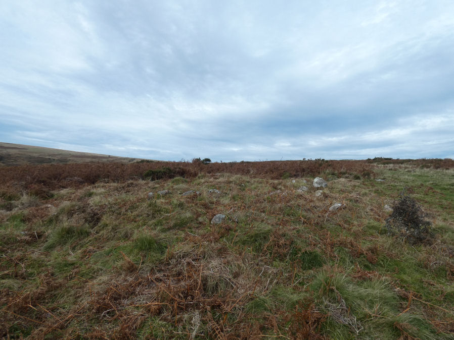
Photo taken on 02-10-2025
Database entries
OS Map: SX 67627 68957
OS Source: Garmin
Butler OS: SX67616895
HER: MDV24792
Alternate name: Mardle Valley 4
Short Name: CN Mardle 4
Butler map: 58.12.4
Grinsell: HOLNE 15
Exist: Yes
Record: Unique
Record Source: Butler
Hut Class: No
Cairn Class: Yes
Dimensions (m): 9.0 x 0.4
Lidar: SX 67627 68957
Guide Map: 45
Nearest Bus Stop: Poundsgate Tavistock Inn (5.6 km) [Route: 172]
Nearby sites: SX 67627 68957
Notes
HER quoting Gerrard: Round cairn. Diameter 9.8m, height 0.7m. A flat topped stoney mound with several hollows. A small number of edge set stones around the periphery may represent the remnants of a kerb.This cairn has been cleared of vegetation by the DPA in September 2025 and the author visited shortly afterwards on 02/10/2025. Photos added and grid references updated.
References
These are selected references with an emphasis on out of copyright sources linked as PDFs. For more detailed references try any linked HER or PMD record above.
- Butler, Jeremy, Dartmoor Atlas of Antiquities, vol.4: The South-East, (1993)
- Grinsell, L.V., Dartmoor Barrows, Devon Archaeological Society Proceedings No.36 (1978)
- Newman, Phil; Probert, S. A. J, Holne Moor, Dartmoor, Devonshire. A Landscape Survey, Royal Commission on the Historical Monuments of England (1997)