
Joan Ford's Newtake N.2 Cairn Circle
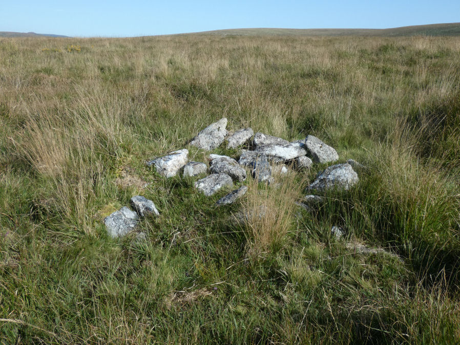
Photo taken on 04-09-2023
Database entries
OS Map: SX 63002 72332
OS Source: Google
Butler OS: SX62997233
HER: MDV54460
Alternate name: Joan Ford's Newtake N.2
Short Name: CN JoanFd N2
Butler map: 63.3
Exist: Yes
Record: Unique
Record Source: Butler
Hut Class: No
Cairn Class: Yes
Dimensions (m): 12.0 x 0.3
Lidar: SX 63002 72332
Guide Map: 39
Nearest Bus Stop: Two Bridges Hotel (4.4 km) [Route: 98,171,172]
Nearby sites: SX 63002 72332
Notes
"A probable ring cairn situated on a slight NW slope. At least eight tin pits occur immediately to the E and S, and modern small stone clearance heaps are visible everywhere. The circular turf-covered stony bank is 12.2m in overall diameter, 2.0m wide and on average 0.4m high; a few stones protrude through the turf but there is no obvious trace of a kerb, slabs or boulders. Two or three modern clearance heaps lie on the bank and a gap on the N side with an adjacent corresponding pile of spoil is probably a recent mutilation" The photo shows one of the heaps on the bank which can just be seen.References
These are selected references with an emphasis on out of copyright sources linked as PDFs. For more detailed references try any linked HER or PMD record above.
- Butler, Jeremy, Dartmoor Atlas of Antiquities, vol.4: The South-East, (1993)