
Haytor Down N.3 Reported Cairn
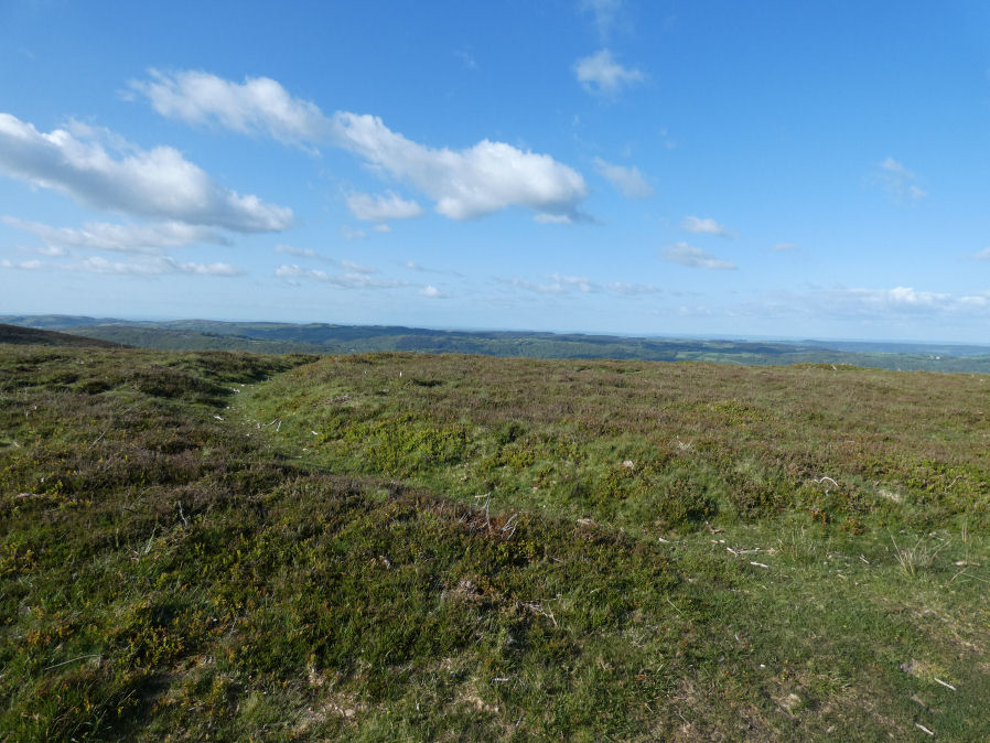
Photo taken on 15-05-2023
Database entries
OS Map: SX 76599 78154
OS Source: Google
HER: MDV8105
Alternate name: Haytor Down N.3
Short Name: CN-Haytor N3
Butler map: 2.6.3
Butler Vol 5: p.191 & Fig.134
Exist: Yes
Record: Unique
Record Source: Butler
Cairn Class: Maybe
Dimensions (m): 21
Lidar: SX 76599 78154
Nearest Bus Stop (Minor): Haytor Vale Moorlands House (0.9 km) [Route: 193,271]
Nearest Bus Stop (Major): Lustleigh Bishops Stone (3.9 km) [Route: 178]
Nearby sites: SX 76599 78154
Notes
One of group of 4 cairns - see Butler for diagram in Vol 1 and 5. Maybe medieval ditch. "Sited at SX76597814 on a gently sloping northern summit of the Haytor Down spur, is a circular ditch with a level interior and slight external bank. The well-defined ditch has a V profile and a diameter of 24m. It is 1.9m wide and survives to a depth of 0.6m. The external bank, where visible is approximately 1.5m wide. The southern quadrant has been overlain by a modern footpath. The unsilted appearance of the ditch suggests this is not a prehistoric feature."References
These are selected references with an emphasis on out of copyright sources linked as PDFs. For more detailed references try any linked HER or PMD record above.
- Butler, Jeremy, Dartmoor Atlas of Antiquities, vol.1: The East, (1991)
- Butler, Jeremy, Dartmoor Atlas of Antiquities, vol.5: The Second Millennium B.C., (1997)