
Grimslake Cist Reported Stone Row
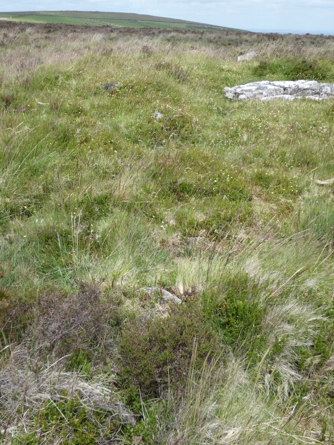
Photo taken on 21-06-2024
Database entries
OS Map: SX 70412 81154
OS Source: SRGB
HER: MDV8744
The Stone Rows of GB: Grimslake Cist
PMD: Grimslake Cist Stone Row
Alternate name: Grimslake Cist
Short Name: SR Grimslake
Butler map: 20.16
Exist: Yes
Record: Unique
Record Source: PMD
Hut Class: No
Lidar: SX 70412 81154
Guide Map: 29
Nearest Bus Stop: Warren House Inn (3.9 km) [Route: 171]
Nearby sites: SX 70412 81154
Notes
The author visited this site on 21/06/24 and concluded there was no stone row but took a photo of some stones near the cairn and cist that are roughly linear but not convincing for a stone row. The Stone Rows of Great Britain website reached the same conclusion but with far more detail. This is not in my view a stone row. This site is now listed as "reported stone row" instead of a "stone row".References
These are selected references with an emphasis on out of copyright sources linked as PDFs. For more detailed references try any linked HER or PMD record above.
- Baring-Gould, Sabine, The Exploration of Grimspound. First Report of The Dartmoor Exploration Committee, T.D.A. Vol.26 pp.101-21 (1894)
- Butler, Jeremy, Dartmoor Atlas of Antiquities, vol.1: The East, (1991)
- Newman, Phil, Headland Warren and the Birchtor and Vitifer Mines: An Archaeological Survey, English Heritage (2002)
- Worth, R. Hansford, Barrow Report 21, T.D.A. Vol.34 pp.104- 146 (1902)
- Worth, R.N., The Stone Rows of Dartmoor - Part 3, T.D.A. Vol.26 pp.296-307 (1894)