
Harford Gate Encircled Cairn
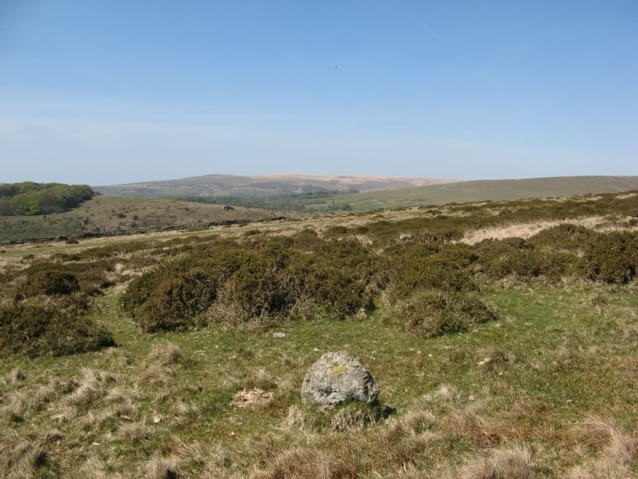
Photo taken on 20-04-2019
Database entries
PDW coverage: Dartmoor Walk: The Neolithic tombs of Cuckoo Ball & Corringdon Ball
OS Map: SX 64494 59677
OS Source: Lidar
Butler OS: SX64545974
HER: MDV13092
Megalithic Portal: 3281
Alternate name: Piles Hill S.W.9
Short Name: EC HarfordGate
Butler map: 53.11.9
Grinsell: HARFORD 26
Turner: F3
Exist: Yes
Record: Unique
Record Source: Butler
Hut Class: No
Cairn Class: Yes
Dimensions (m): 6.5 x 0.3
Lidar: SX 64494 59677
Guide Map: 58
Nearest Bus Stop: Ivybridge BP Garage (Stop B) (4.8 km) [Route: 38]
Nearby sites: SX 64494 59677
Notes
"This cairn occupies a prominent position on the brow of a hill and is one of two north-west of Harford Moor Gate. Measures 13 metres in diameter and 0.3 metres in height, it is turf-covered and has a retaining kerb." Visited by the author 20/04/19. Garmin gives location as SX 64495 59682 but a Lidar source gives location as SX 64494 59677 - which matches closely the HER NGR.References
These are selected references with an emphasis on out of copyright sources linked as PDFs. For more detailed references try any linked HER or PMD record above.
- Butler, Jeremy, Dartmoor Atlas of Antiquities, vol.4: The South-East, (1993)
- Grinsell, L.V., Dartmoor Barrows, Devon Archaeological Society Proceedings No.36 (1978)
- Hankin, C. F., An archaeological check-list for Harford, Devon Archaeological Society/DCRA publications no.11 (1982)
- Turner, J.R., Ring Cairns, stone circles and related monuments on Dartmoor, D.A.S.P. No.48 pp.27-86 (1990)