
Yellowmead Down Encircled Cairn
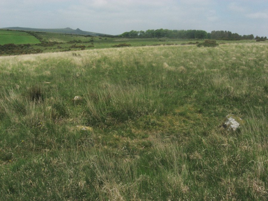
Photo taken on 05-06-2016
Database entries
PDW coverage: Dartmoor Site: Yellowmead 4-fold Cairn Circle
OS Map: SX 57535 67861
OS Source: Google
Butler OS: SX57536786
HER: MDV4025
Megalithic Portal: 31040
Alternate name: Yellowmead Down 1
Short Name: EC Yellowmd 1
Butler map: 47.14.1
Grinsell: SHEEPSTOR 5
Turner: F21
DPD page: 31
Exist: Yes
Record: Unique
Record Source: Butler
Hut Class: No
Cairn Class: Yes
Barrow Report: 41
Dimensions (m): 3.5 x 0.2
Lidar: SX 57535 67861
Guide Map: 42
Nearest Bus Stop: Meavy Primary School (4.2 km) [Route: 56]
Nearby sites: SX 57535 67861
Notes
Cairn around 50 meters north-east of the Yellowmead stone circles, consisting of an earth and stone mound approximately 4 meters in diameter and up to 0.3 meters high. Four stones of a retaining kerb on its west and south sides. Turner F21.References
These are selected references with an emphasis on out of copyright sources linked as PDFs. For more detailed references try any linked HER or PMD record above.
- Breton, Henry Hugh, The Forest of Dartmoor, (1990)
- Butler, Jeremy, Dartmoor Atlas of Antiquities, vol.3: The South-West, (1994)
- Grinsell, L.V., Dartmoor Barrows, Devon Archaeological Society Proceedings No.36 (1978)
- Lethbridge, William D., Discover Preshistoric Dartmoor, (2015)
- Turner, J.R., Ring Cairns, stone circles and related monuments on Dartmoor, D.A.S.P. No.48 pp.27-86 (1990)
- Worth, R. Hansford, Barrow Report 41, T.D.A. Vol.54 pp.69-72 (1922)