
Deadman's Bottom Embanked Cairn Circle
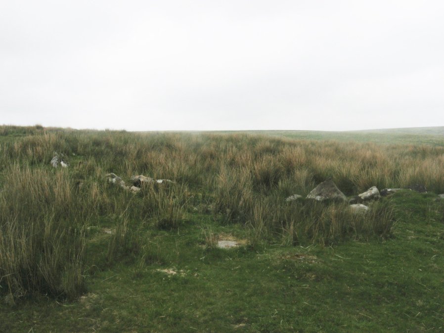
Photo taken on 04-06-2016
Database entries
PDW coverage: Dartmoor Site: Guide to the Langcombe Brook & Deadman's Bottom Cists
OS Map: SX 60711 67027
OS Source: Garmin
HER: MDV12420
Megalithic Portal: 3194
Alternate name: Deadman's Bottom 1
Short Name: CC Deadmans 1
Turner: B1
Exist: Yes
Record: Unique
Record Source: PDW
Hut Class: No
Cairn Class: Yes
Dimensions (m): 16
Lidar: SX 60711 67027
Guide Map: 50
Nearest Bus Stop: Lee Moor Clearview (8.1 km) [Route: 59]
Nearby sites: SX 60711 67027
Notes
"Turner identifies this site as an embanked stone circle; an annular bank of earth and/or stones with an inner edge of orthostats. Internal diam 16m with bank 0.8m wide and 0.3m high. The bank has been pushed out on the sse side and the stones lean outward (turner)." Turner B1.References
These are selected references with an emphasis on out of copyright sources linked as PDFs. For more detailed references try any linked HER or PMD record above.
- Turner, J.R., Ring Cairns, stone circles and related monuments on Dartmoor, D.A.S.P. No.48 pp.27-86 (1990)