
Cudlipptown Down Embanked Cairn Circle
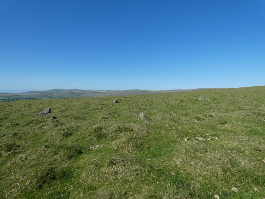
Photo taken on 27-05-2022
Database entries
OS Map: SX 53732 78949
OS Source: Google
Butler OS: SX53727895
HER: MDV13252
Megalithic Portal: 45608
Alternate name: White Tor N.W.2
Short Name: CC White NW2
Butler map: 31.23.2
Butler Vol 5: p.188 & Fig.130
Grinsell: PETER TAVY 21
Turner: B5
Exist: Yes
Record: Unique
Record Source: Butler
Hut Class: No
Cairn Class: Yes
Dimensions (m): 16.0 x 0.3
Lidar: SX 53732 78949
Guide Map: 24
Nearest Bus Stop: Mary Tavy War Memorial (4.5 km) [Route: 118]
Nearby sites: SX 53732 78949
Notes
"A ring cairn set at the eastern end of a natural gently sloping plateau of rough grassland generally devoid of stones. It measures about 11m diameter inside a turf-covered bank, composed generally of smallish stones, which is about 2.2m wide and has a maximum height of 0.4m on the E. It has been mutilated and spread in the south-east and the west. Several stones, are evident, two probably set in the inner face but the rest are apparently part of the bank of even part of the outer face. Two in the east on the uphill side appear to form an entrance but this is possibly due to mutilation. The interior appears to have been levelled and is 0.2m above the ground to the W. There is no evidence of any internal features or a ditch"References
These are selected references with an emphasis on out of copyright sources linked as PDFs. For more detailed references try any linked HER or PMD record above.
- Butler, Jeremy, Dartmoor Atlas of Antiquities, vol.2: The North, (1991)
- Butler, Jeremy, Dartmoor Atlas of Antiquities, vol.5: The Second Millennium B.C., (1997)
- Grinsell, L.V., Dartmoor Barrows, Devon Archaeological Society Proceedings No.36 (1978)
- Turner, J.R., Ring Cairns, stone circles and related monuments on Dartmoor, D.A.S.P. No.48 pp.27-86 (1990)