
Mis Tor Farm Embanked Cairn Circle
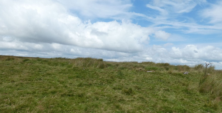
Photo taken on 30-07-2025
Database entries
OS Map: SX 56927 75953
OS Source: Google
Butler OS: SX56927595
HER: MDV15372
Megalithic Portal: 45609
Alternate name: Little Mis Tor S.E.
Short Name: CC MisTor Farm
Butler map: 30.17
Butler Vol 5: p.163 & Fig.104
Grinsell: LYDFORD 37a
Turner: B13
Exist: Yes
Record: Unique
Record Source: Butler
Hut Class: No
Cairn Class: Yes
Dimensions (m): 22.0 x 0.4
Lidar: SX 56927 75953
Guide Map: 33
Nearest Bus Stop: Merrivale Dartmoor Inn (2.9 km) [Route: 98,171,172]
Nearby sites: SX 56927 75953
Notes
HER Base of ancient tumulus, about 20m in diameter, may have formed a bound of the ancient boundary between Lydford and Walkhampton (Prowse). Butler: Little Mis Tor SE cairn at SX56927595 of 22.0 metres diameter by 0.4 metres high. This large but low cairn has suffered some trenching around the eastern side. An outer bank 22 metres across surrounds a level interior rising to a small mound at the centre on which are lying several small stones. The few slabs visible within the bank show that it was built with inner and outer faces around a rubble core.References
These are selected references with an emphasis on out of copyright sources linked as PDFs. For more detailed references try any linked HER or PMD record above.
- Butler, Jeremy, Dartmoor Atlas of Antiquities, vol.2: The North, (1991)
- Butler, Jeremy, Dartmoor Atlas of Antiquities, vol.5: The Second Millennium B.C., (1997)
- Grinsell, L.V., Dartmoor Barrows, Devon Archaeological Society Proceedings No.36 (1978)
- Prowse, Arthur B., The Bounds of the Forest of Dartmoor, T.D.A. Vol.24 pp.418-430 (1892)
- Turner, J.R., Ring Cairns, stone circles and related monuments on Dartmoor, D.A.S.P. No.48 pp.27-86 (1990)