
Ausewell Rocks W. Cairn
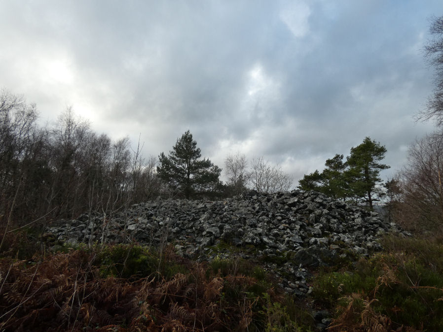
Photo taken on 20-12-2025
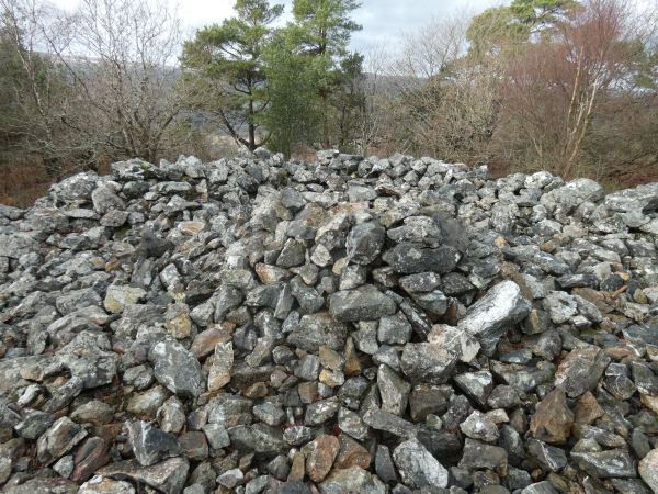
Internal features of Ausewell Rocks W. Cairn (20-12-2025)
Database entries
OS Map: SX 73477 71753
OS Source: Google
HER: MDV7988
Alternate name: Ausewell Rocks W.
Short Name: CN Ausewell W
Grinsell: ASHBURTON 2
Exist: Yes
Record: Unique
Record Source: Grinsell
Hut Class: No
Cairn Class: Yes
Barrow Report: 41
Dimensions (m): 18.0
Lidar: SX 73477 71753
Guide Map: 41
Nearest Bus Stop: Ashburton River Dart Country Park (2.9 km) [Route: 172]
Nearby sites: SX 73477 71753
Notes
HER: diameter 18.0m, crude stone wall around cairn obviously modern survives as a semi circular enclosure on west side of cairns flat top.Barrow report 41: The Western Cairn, as Mr. Amery first knew it, had an even more unusual feature. The crest was flat, but around the summit there was a dry stone wall, about 3 ft. high and 3 ft. 6 in. wide at the base. Of this wail, which extended about two-thirds around the circumference, the only part now reasonably well preserved is a few feet in length on the west side. The diameter of the cairn at the top is 28 ft. 6 in., at the base 51 ft. 6 in., and its height is about 7 ft. There is no hollow in the crest.
References
These are selected references with an emphasis on out of copyright sources linked as PDFs. For more detailed references try any linked HER or PMD record above.
- Grinsell, L.V., Dartmoor Barrows, Devon Archaeological Society Proceedings No.36 (1978)
- Worth, R. Hansford, Barrow Report 41, T.D.A. Vol.54 pp.69-72 (1922)