
Buttern Hill Stone Circle
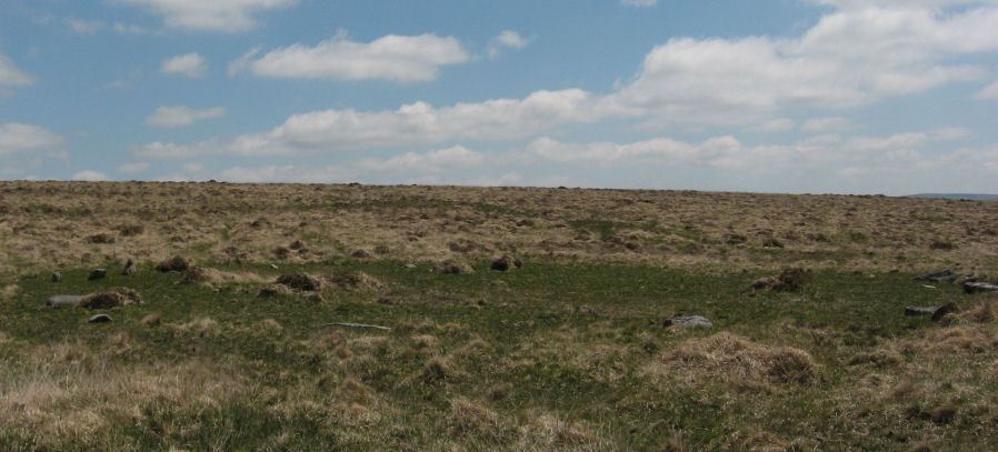
Photo taken on 09-06-2013
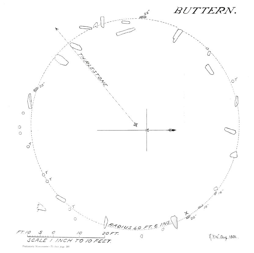
Plan by RHW. The Prehistoric Monuments of Scorhill, Buttern Hill, and Shuggledown (Shoveldown) 1932
Database entries
OS Map: SX 64949 88481
OS Source: Google
HER: MDV4371
Megalithic Portal: 724
PMD: Buttern Hill Stone Circle
Alternate name: Buttern Hill
Short Name: SC Buttern 1
Turner: G7
DPD page: 147
Exist: Yes
Record: Unique
Record Source: PDW
Hut Class: No
Dimensions (m): 24.8
Lidar: SX 64949 88481
Guide Map: 8
Nearest Bus Stop (Minor): Wonson Telephone Box (3.4 km) [Route: 670]
Nearest Bus Stop (Major): Ramsley (4.7 km) [Route: 670,671,6A]
Nearby sites: SX 64949 88481
Notes
NNE of Scorhill about 2Km. "The remains of a Bronze Age stone circle situated on level ground overlooking the valley of the North Teign River and Whitemoor Marsh. The stone circle measures 24.8 metres in diameter and is denoted by five upright granite slabs standing up to 0.76 metres high. A further 12 recumbent stones lie where they have fallen." Also known as the Throwleigh circle. According to R.N. Worth, although not confirmed since, there was "a small cairn between five and six yards in from the southern edge" and also there is a companion circle a short distance on the slope westward, 60 feet in diameter consisting of four stones with a possible large central pillar, see. The Stone Rows of Dartmoor - Part 3. Breton p.58. - Throwleigh Circle.References
These are selected references with an emphasis on out of copyright sources linked as PDFs. For more detailed references try any linked HER or PMD record above.
- Breton, Henry Hugh, The Heart of Dartmoor, (1926)
- Chudleigh, J, Devonshire Antiquities, (1893)
- Turner, J.R., Ring Cairns, stone circles and related monuments on Dartmoor, D.A.S.P. No.48 pp.27-86 (1990)
- Worth, R. Hansford, The Prehistoric Monuments of Scorhill, Buttern Hill, and Shuggledown (Shoveldown), T.D.A. Vol.64 pp.280-287 (1932)
- Worth, R.N., The Stone Rows of Dartmoor - Part 3, T.D.A. Vol.26 pp.296-307 (1894)