Database entries
OS Map: SX 59232 67271
OS Source: Garmin
PMD: Drizzlecombe Settlement
Alternate name: Drizzlecombe Settlement
Short Name: CT-Drizzle 27
Exist: Yes
Record: Unique
Record Source: NMR
Hut Class: No
Cist Class: Maybe
Cairn Class: Maybe
Lidar: SX 59232 67271
Guide Map: 48
Nearest Bus Stop: Meavy Primary School (6.2 km) [Route: 56]
Nearby sites: SX 59232 67271
Notes
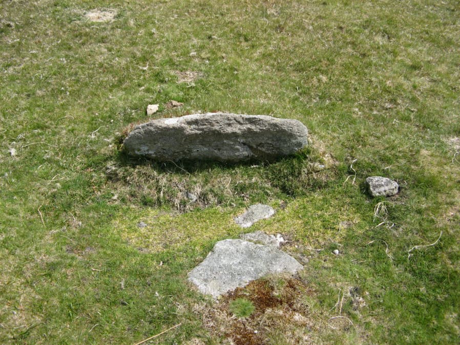
A claimed possible cist that could just be a natural arrangement. "An arrangement of stones made up of a pair of long edge-set orthostatic slabs placed to the E and S of a large tilted slab. It is possible that this is a disturbed cist, comprising a displaced sidestone and two endstones but the two orthostats are not parallel and there is no clear central depression. the length between the endstones is 1.2m and the height of the tilted slab is 0.49m. NGR SX 5928 6727" (From Robertson,Jennifer 1991 The Archaeology of the Upper Plym Unpublished PhD Thesis p875). No HER record, the NMR (Sept 1999) gives NGR SX 5927 6727. The item in the photo is probably the site referred to and is located at SX 59232 67271