Prehistoric Dartmoor Walks, walking the Stone Rows and Stone Circles of Dartmoor
HomeWalksSites Access Resources
Dartmoor Site: Littaford Tor E Cist

Littaford Tor E Cist

Littaford Tor E Cist

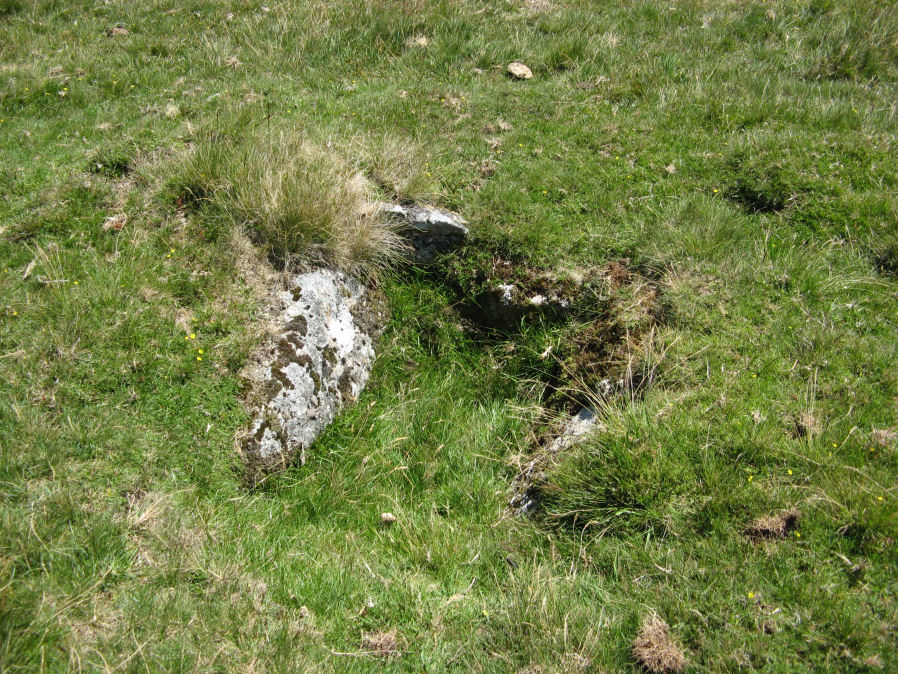
Photo taken on 20-07-2020

Database entries

OS Map: SX 61846 76717
OS Source: Garmin
HER: MDV-1
PMD: Littaford Tor E.
Alternate name: Littaford Tor E
Short Name: CT Littaford2
Exist: Yes
Record: Unique
Record Source: Radcliffe
Cist Class: Yes
Cairn Class: Yes
Dimensions (m): c.1.0 x 0.5 C
Lidar: SX 61846 76717
Nearby sites: SX 61846 76717

Notes

Radcliffe: "Long axis approx W-E . Stones visible on N ,E and S sides and some stone could be felt under grass on W side. Approx. 1m x 0.5m x 0.5m depth internally. No obvious sign of cairn mound. No obvious stonecutting in vicinity. TAP Greeves (pers. comm.) "

Google Satellite Map

Page last updated 18/02/24