
Homerton Hill 8 Cairn
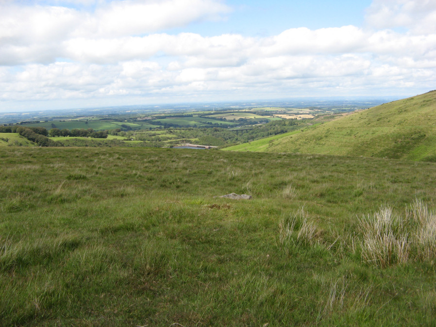
Photo taken on 30-06-2019
Database entries
OS Map: SX 56217 90570
OS Source: Garmin
HER: MDV52478
Alternate name: Homerton Hill 8
Short Name: CN Homerton 8
Exist: Yes
Record: Unique
Record Source: HER
Hut Class: No
Cairn Class: Yes
Dimensions (m): 3.9 x 5.9 x 0.5
Lidar: SX 56217 90570
Guide Map: 4
Nearest Bus Stop: Sourton Windard Terrace (3.8 km) [Route: 118]
Nearby sites: SX 56217 90570
Notes
HER: Cairn forming part of a cairnfield on Homerton Hill. The cairn is ovoid in shape and measures 5.9 metres long, 3.9 metres wide and stands up to 0.5 metres high. The mound forms part of a group which most likely represents stone clearance connected with cultivation of the area.References
These are selected references with an emphasis on out of copyright sources linked as PDFs. For more detailed references try any linked HER or PMD record above.
- Butler, Jeremy, Dartmoor Atlas of Antiquities, vol.2: The North, (1991)
- Newman, Phil, Archaeological Sites within Okehampton Training Area, Southwest Landscape Investigations (2014)