
Lake Down 12 Clearance Cairn
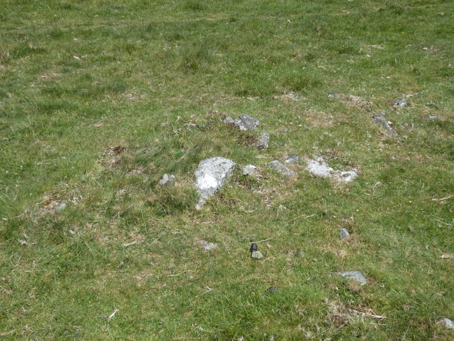
Photo taken on 20-06-2022
Database entries
OS Map: SX 54158 88764
OS Source: Garmin
HER: MDV50956
Alternate name: Lake Down 12
Short Name: CN LakeDown12
Exist: Yes
Record: Unique
Record Source: HER
Cairn Class: Yes
Lidar: SX 54158 88764
Nearest Bus Stop: Sourton Windard Terrace (1.7 km) [Route: 118]
Nearby sites: SX 54158 88764
Notes
There are 12 recorded cairns in this cairnfield, 1 outlier (cairn 1) and group of 11 cairns clustered together making 12 in total. It is impossible to match the HER entries from the descriptions provided due to lack of precision grid references on the HER for this group. For this reason the distinct cairns identified in the field and appearing in the photos have been arbitrarily allocated to one of the HER entries. The grid reference is that of the feature in the photo and is not the grid reference of the arbitrary HER entry allocated to this entry. The group was visited on 17/06/22 and 10 of the 12 cairns were recorded. Two of them, Cairn 9 and Cairn 12, were located on a follow up visit on 20/06/22. Cairn 10 and cairn 11 are oval shaped and allocated to the two HER entries that state oval shaped. Cairn 2 clearly has a central pit and cairn 12 is small - these can be matched to an HER entry.HER record MDV12848 (duplicated in MDV50579) [SiteID=1356, SiteID=3206] are the master record for the cluster of 11 cairns.
(Gerrard 1993) The 11 cairns forming the largest part of a cairnfield on lake down are situated on a narrow natural terrace on a steep west-facing slope overlooking west devon. Nine of the mounds are sub-circular in shape and these range in size from 2m to 6.3m in diameter and stand between 0.4m and 1.2m high. The remaining two are ovoid in shape, and these measures 6m long, 3m wide and stand up to 0.6m high. The average height of all the mounds is 0.64m. One cairn has a shallow hollow in the centre of the mound, suggesting robbing or partial excavation. Some of the cairns may contain burials, but the group most likely represents stone clearance connected with cultivation of the area. See subsheets
Lake Down 1 Sub-circular. Diam 6m, height 1.2m
Lake Down 2 Sub-circular. Diam 4m, height 0.4m. Central hollow, 0.9m diam, 0.1m deep.
Lake Down 3 Sub-circular. Diam 6.3m, height 1m
Lake Down 4 Sub-circular. Diam 5m, height 0.7m
Lake Down 5 Sub-circular. Diam 3m, height 0.4m
Lake Down 6 Sub-circular. Diam 4m, height 0.6m
Lake Down 7 Sub-circular. Diam 4.7m, height 0.8m
Lake Down 8 Sub-circular. Diam 4.7m, height 0.8m
Lake Down 9 Sub-circular. Diam 3.8m, height 0.8m
Lake Down 10 Oval.6m by 3m by 0.6m high
Lake Down 11 Oval.6m by 3m by 0.6m high
Lake Down 12 Sub-circular. Diam 2m, height 0.2m
References
These are selected references with an emphasis on out of copyright sources linked as PDFs. For more detailed references try any linked HER or PMD record above.
- Fleming, A., Collis, J. & Jones, R., A late prehistoric reave system near Cholwich Town Dartmoor, D.A.S.P. No.31 (1973)