
Roundhill SW (N) Cist
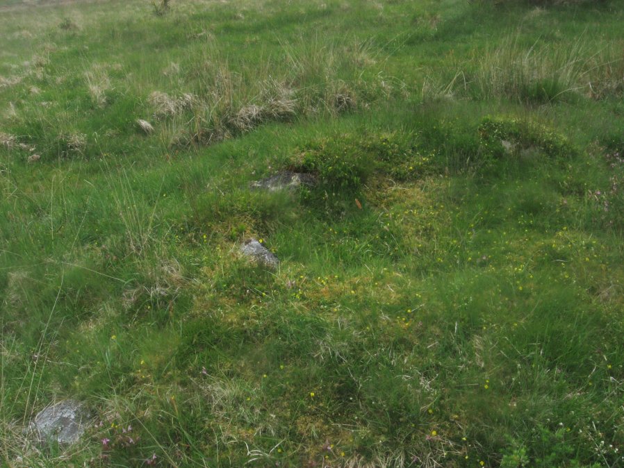
Photo taken on 04-06-2016
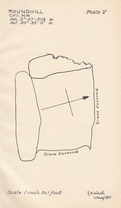
Plan by RHW. Barrow Report 31. TDA Vol.44 1912
Database entries
OS Map: SX 60916 74160
OS Source: Garmin
Butler OS: SX60927416
HER: MDV6248
Megalithic Portal: 45680
PMD: Roundhill SW 2
Alternate name: Round Hill S.2
Short Name: CT RoundhillS2
Butler map: 65.1.5
Dixon Cist #: 34
Grinsell: LYDFORD 76
DPD page: 106
Exist: Yes
Record: Unique
Record Source: Butler
Hut Class: No
Cist Class: Yes
Cairn Class: Yes
Barrow Report: 31
Dimensions (m): 4.3 x 0.4 C
Lidar: SX 60916 74160
Guide Map: 34
Nearest Bus Stop: Two Bridges Hotel (1.2 km) [Route: 98,171,172]
Nearby sites: SX 60916 74160
Notes
Northern of a pair of cists. Butler Round Hill S. 3. (Cairn 6) - Vol. 4. Map 65.1 (p.227-9 general plan of diagram of Round Hill cairns p.228). LYDFORD 75. "A turf-covered cairn, slightly spread on the northern side, measuring 5.0 meters by 4.8 meters and 0.5 meters in height. An almost centrally placed upright slab, 0.6 meters long and 0.13 meters wide and a large slab at the foot of the mound could both be part of a disturbed cist. There is no evidence of a kerb". Lethbridge diagram p.103, photo bottom p.106.References
These are selected references with an emphasis on out of copyright sources linked as PDFs. For more detailed references try any linked HER or PMD record above.
- Butler, Jeremy, Dartmoor Atlas of Antiquities, vol.4: The South-East, (1993)
- Grinsell, L.V., Dartmoor Barrows, Devon Archaeological Society Proceedings No.36 (1978)
- Prowse, Arthur B., The Antiquities of Ockery and Roundhill, T.D.A. Vol.33 pp.495-499 (1901)
- Worth, R. Hansford, Barrow Report 31, T.D.A. Vol.44 pp.83-5 (1912)
- Worth, R. Hansford, Barrow Report 44, T.D.A. Vol.57 p.71 (1925)