
Roundhill, Near Summit Cist
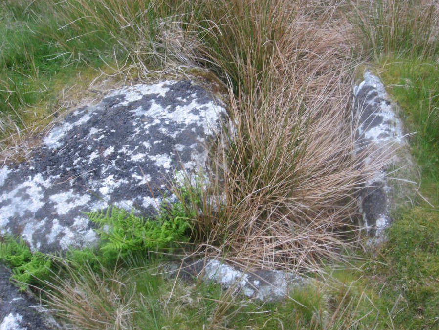
Photo taken on 04-06-2016
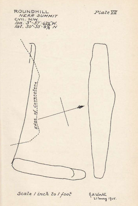
Plan by RHW. Barrow Report 31. TDA Vol.44 1912
Database entries
OS Map: SX 61046 74428
OS Source: Google
Butler OS: SX61047442
HER: MDV6217
Megalithic Portal: 45682
PMD: Round Hill Summit W.
Alternate name: Round Hill Summit 1
Short Name: CT Roundhill 1
Butler map: 65.1.1
Dixon Cist #: 36
Grinsell: LYDFORD 78
DPD page: 105
Exist: Yes
Record: Unique
Record Source: Butler
Hut Class: No
Cist Class: Yes
Cairn Class: Yes
Barrow Report: 31 44
Dimensions (m): 7.5 x 0.3 C
Lidar: SX 61046 74428
Guide Map: 34
Nearest Bus Stop: Two Bridges Hotel (0.8 km) [Route: 98,171,172]
Nearby sites: SX 61046 74428
Notes
Butler Round Hill Summit 1 - Vol. 4. Map 65.1 (p.227-9, diagram of Round Hill cairns p.228). Lethbridge p.103 diagram Cist(A), photo top p.105.References
These are selected references with an emphasis on out of copyright sources linked as PDFs. For more detailed references try any linked HER or PMD record above.
- Butler, Jeremy, Dartmoor Atlas of Antiquities, vol.4: The South-East, (1993)
- Grinsell, L.V., Dartmoor Barrows, Devon Archaeological Society Proceedings No.36 (1978)
- Prowse, Arthur B., The Antiquities of Ockery and Roundhill, T.D.A. Vol.33 pp.495-499 (1901)
- Worth, R. Hansford, Barrow Report 31, T.D.A. Vol.44 pp.83-5 (1912)
- Worth, R. Hansford, Barrow Report 44, T.D.A. Vol.57 p.71 (1925)