
Black Newtake (E) No. 5 Ring Setting Cairn and Cist
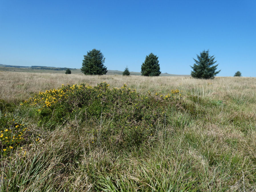
Photo taken on 04-09-2023
Database entries
PDW coverage: Dartmoor Site: Lakehead Hill
OS Map: SX 63853 75734
OS Source: Garmin
Butler OS: SX63857573
HER: MDV5950
Megalithic Portal: 45744
PMD: Black Newtake S.
Alternate name: Bellever Tor 8
Short Name: CT Bellever 8
Butler map: 27.20.8
Dixon Cist #: 80
Grinsell: LYDFORD 64
Turner: D7
Exist: Yes
Record: Unique
Record Source: Butler
Hut Class: No
Cist Class: Yes
Cairn Class: Yes
Barrow Report: 57
Dimensions (m): 6.5 x 0.9 x 0.4 ? C?
Lidar: SX 63853 75734
Guide Map: 35
Nearest Bus Stop: Powder Mills (1.7 km) [Route: 171]
Nearby sites: SX 63853 75734
Notes
"Turf and gorse covered cairn. Approximately 6 metres in diameter with a maximum height of 0.35 metres. A depression in the top possibly marks the site of a cist with one large leaning or recumbent stone detectable under the turf at the east end" "Small orthostatic circle, diameter 6.5 metres, with central cist. Only one stone remains. Part of group with similar thin rectangular slabs, now eroded". Further coverage on Lakehead Hill page. Butler Bellever Tor - Vol. 2. Map 27.20.8 (Cairn 8 diagram pp.52-3). See also: Dartmoor Explorations: Antiquities of Black Newtake and EnvironsReferences
These are selected references with an emphasis on out of copyright sources linked as PDFs. For more detailed references try any linked HER or PMD record above.
- Burnard, Robert, Notes on Dartmoor Kistvaens, T.D.A. Vol.22 pp.200-207 (1890)
- Butler, Jeremy, Dartmoor Atlas of Antiquities, vol.2: The North, (1991)
- Grinsell, L.V., Dartmoor Barrows, Devon Archaeological Society Proceedings No.36 (1978)
- Turner, J.R., Ring Cairns, stone circles and related monuments on Dartmoor, D.A.S.P. No.48 pp.27-86 (1990)
- Worth, R. Hansford, Barrow Report 57, T.D.A. Vol.70 pp.59-62 (1938)