
Muddilake Newtake Reported Cist
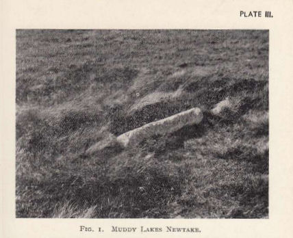
Photo by RHW. Barrow Report 58. TDA Vol.71 1939
Database entries
OS Map: SX 62654 75194
OS Source: Google
HER: MDV5893
Megalithic Portal: 45745
PMD: Muddilake Newtake
Alternate name: Muddilake Newtake
Short Name: CT:Muddilake
Grinsell: LYDFORD 105
Turner: A21
Exist: Yes
Record: Unique
Record Source: Turner
Hut Class: Maybe
Cist Class: Maybe
Cairn Class: Maybe
Barrow Report: 58
Dimensions (m): 6.0
Lidar: SX 62654 75194
Guide Map: 35
Nearest Bus Stop: Powder Mills (1.8 km) [Route: 171]
Nearby sites: SX 62654 75194
Notes
NMR states "A hut circle, not a cairn circle". This is almost certainly not a cist. "The measurements do not conform to those of Prowse but nothing else can be seen in the vicinity. It is most unlikely that these stones represent the remains of a cist, but are a natural occurrence." (see also duplicate HER record 5894 and SiteID=2547). This "cist" entry was listed by Dixon, however, it seems a dubious entry. This is not listed by Butler, the relevant map is Vol. 2. Map 29.9.References
These are selected references with an emphasis on out of copyright sources linked as PDFs. For more detailed references try any linked HER or PMD record above.
- Grinsell, L.V., Dartmoor Barrows, Devon Archaeological Society Proceedings No.36 (1978)
- Turner, J.R., Ring Cairns, stone circles and related monuments on Dartmoor, D.A.S.P. No.48 pp.27-86 (1990)
- Worth, R. Hansford, Barrow Report 58, T.D.A. Vol.71 pp.69-71 (1939)