
Cut Hill Cairn
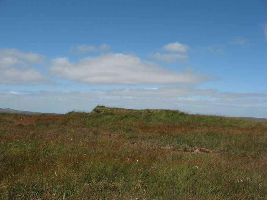
Photo taken on 12-10-2024
Database entries
OS Map: SX 59823 82745
OS Source: Google
HER: MDV69603
Megalithic Portal: 47078
PMD: Cut Hill
Alternate name: Cut Hill
Short Name: CN Cut Hill
DPD page: 130
Exist: Yes
Record: Unique
Record Source: PDW
Hut Class: No
Cairn Class: Yes
Lidar: SX 59823 82745
Guide Map: 17
Nearest Bus Stop: Postbridge Post Office (8.2 km) [Route: 98,171]
Nearby sites: SX 59823 82745
Notes
"Barrow c20m overall diameter on the top of 'Cut Hill' at 603m OD was observed during a field visit by Tom Greeves in 2004. The 1.5m high circular mound has a military range pole set in it & surface erosion has exposed a turf/peat core with a few stones. The surrounding ditch is over 1m wide & nearly filled with waterlogged vegetation."For more information, see: Prehistoric Society - Past No. 47. The date and context of a stone row: Cut Hill, Dartmoor, south-west England. The HER gives the OS grid reference as SX 5992 8275 which is almost 100 metres to the east. The photo here shows a modern walkers cairn on top of the feature. This did not exist in 2013 when the author last visited.
References
These are selected references with an emphasis on out of copyright sources linked as PDFs. For more detailed references try any linked HER or PMD record above.
- Lethbridge, William D., Discover Preshistoric Dartmoor, (2015)
- Newman, Phil, Archaeological Sites within Merrivale Training Area, Southwest Landscape Investigations (2018)