
Butter Brook Standing Stone
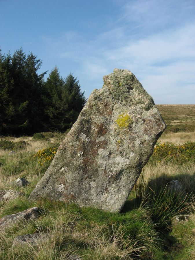
Photo taken on 30-09-2011
Database entries
PDW coverage: Dartmoor Walk: The Neolithic tombs of Cuckoo Ball & Corringdon Ball
OS Map: SX 64747 59301
OS Source: Google
HER: MDV13095
Megalithic Portal: 45565
PMD: Butterbrook Standing Stone
Alternate name: Butter Brook
Short Name: SS ButterBrook
Exist: Yes
Record: Unique
Record Source: PDW
Hut Class: No
Dimensions (m): 2.03 x 1.77
Lidar: SX 64747 59301
Guide Map: 58
Nearest Bus Stop: Ivybridge BP Garage (Stop B) (4.4 km) [Route: 38]
Nearby sites: SX 64747 59301
Notes
The stone is easy to approach from the dry ground to the south but just beyond the stone to the north is marshland. A standing-stone, possibly prehistoric, near Butter Brook (near Harford) is 2.03m long and has a standing height of 1.77m. The stone is located towards the north of the eastern side of the plantation around Butterbrook reservoir. [Entry no. 70 in An archaeological check-list for Harford, Devon Archaeological Society/DCRA publications no. 11 (1982)]References
These are selected references with an emphasis on out of copyright sources linked as PDFs. For more detailed references try any linked HER or PMD record above.
- Hankin, C. F., An archaeological check-list for Harford, Devon Archaeological Society/DCRA publications no.11 (1982)