
Grimslake Platform Cairn Circle and Cist
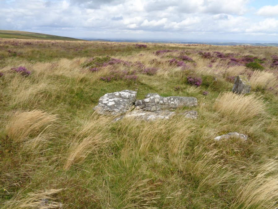
Photo taken on 21-06-2024
Database entries
OS Map: SX 70414 81166
OS Source: Garmin
HER: MDV8744
Megalithic Portal: 44533
The Stone Rows of GB: Grimslake Cist
PMD: Hookney Down
Alternate name: Grimslake Mire
Short Name: CT Grimslake
Butler map: 20.16
Butler Vol 5: p.219 & Fig.153
Dixon Cist #: 100
Grinsell: NORTH BOVEY 3
Turner: E18
DPD page: 128
Exist: Yes
Record: Unique
Record Source: Butler
Cist Class: Yes
Cairn Class: Yes
Dimensions (m): 6.4 x 0.3 C
Lidar: SX 70414 81166
Nearest Bus Stop: Warren House Inn (3.0 km) [Route: 171]
Nearby sites: SX 70414 81166
Notes
Cairn with kerb circle and central cist. Lethbridge diagram p.127 and photo top p.128. Butler Grimslake Mire - Vol. 1. Map 20.16 (diagram p.147).References
These are selected references with an emphasis on out of copyright sources linked as PDFs. For more detailed references try any linked HER or PMD record above.
- Baring-Gould, Sabine, The Exploration of Grimspound. First Report of The Dartmoor Exploration Committee, T.D.A. Vol.26 pp.101-21 (1894)
- Butler, Jeremy, Dartmoor Atlas of Antiquities, vol.1: The East, (1991)
- Butler, Jeremy, Dartmoor Atlas of Antiquities, vol.5: The Second Millennium B.C., (1997)
- Grinsell, L.V., Dartmoor Barrows, Devon Archaeological Society Proceedings No.36 (1978)
- Newman, Phil, Headland Warren and the Birchtor and Vitifer Mines: An Archaeological Survey, English Heritage (2002)
- Page, John Lloyd Warden, An Exploration of Dartmoor and its Antiquities, with some account of its borders, (1889)
- Turner, J.R., Ring Cairns, stone circles and related monuments on Dartmoor, D.A.S.P. No.48 pp.27-86 (1990)
- Worth, R. Hansford, Barrow Report 21, T.D.A. Vol.34 pp.104- 146 (1902)
- Worth, R.N., The Stone Rows of Dartmoor - Part 3, T.D.A. Vol.26 pp.296-307 (1894)