
Blakey Tor (W) Cist
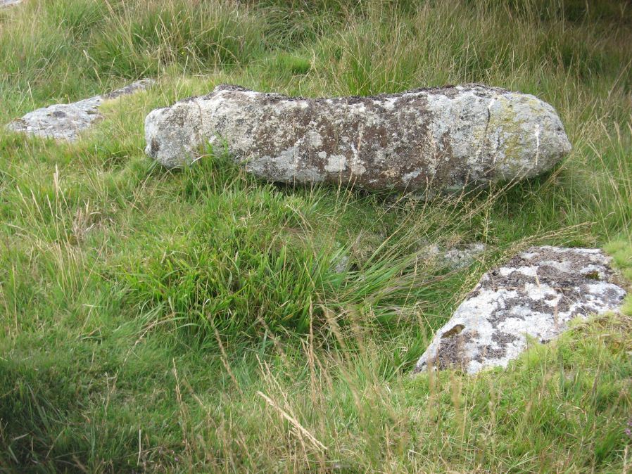
Photo taken on 13-09-2014
Database entries
OS Map: SX 61240 73551
OS Source: Garmin
Butler OS: SX61227355
HER: MDV6244
Megalithic Portal: 45772
PMD: Blakey Tor W.
Alternate name: Blakey Tor W.
Short Name: CT BlakeyTor W
Butler map: 65.4
Dixon Cist #: 111
Grinsell: LYDFORD 84
DPD page: 103
Exist: Yes
Record: Unique
Record Source: Butler
Hut Class: No
Cist Class: Yes
Cairn Class: Yes
Dimensions (m): 4.0 x 0.3 C
Lidar: SX 61240 73551
Guide Map: 34
Nearest Bus Stop: Two Bridges Hotel (2.0 km) [Route: 98,171,172]
Nearby sites: SX 61240 73551
Notes
"The incomplete cist is oriented NW-SE. It measures about 0.85m long, 0.4m to 0.55m wide and 0.25m deep internally. The upright W side slab is 0.9m by 0.2m by 0.25m and the surviving end slab is 0.4m by 0.2m by 0.25m. The E side is formed by a flat-sided boulder which is c. 1.1m long, at least 0.6m thick and 0.25m high. The SE side is open. The coverstone is 1.7m by 0.7m by 0.4m and leans against the W side of the cist." Lethbridge diagram p.102 Cist(A), photo top p.103. Butler Blakey Tor W. - Vol. 4. Map 65.4 (diagram p.232).References
These are selected references with an emphasis on out of copyright sources linked as PDFs. For more detailed references try any linked HER or PMD record above.
- Butler, Jeremy, Dartmoor Atlas of Antiquities, vol.4: The South-East, (1993)
- Grinsell, L.V., Dartmoor Barrows, Devon Archaeological Society Proceedings No.36 (1978)