Database entries
OS Map: SX 56291 66280
OS Source: Google
HER: MDV42769
Alternate name: Ringmoor Down N.2
Short Name: CN RingmoorN 2
Exist: Yes
Record: Unique
Record Source: HER
Hut Class: No
Cairn Class: Yes
Dimensions (m): 5 x 0.5
Lidar: SX 56291 66280
Guide Map: 47
Nearest Bus Stop: Meavy Primary School (2.7 km) [Route: 56]
Nearby sites: SX 56291 66280
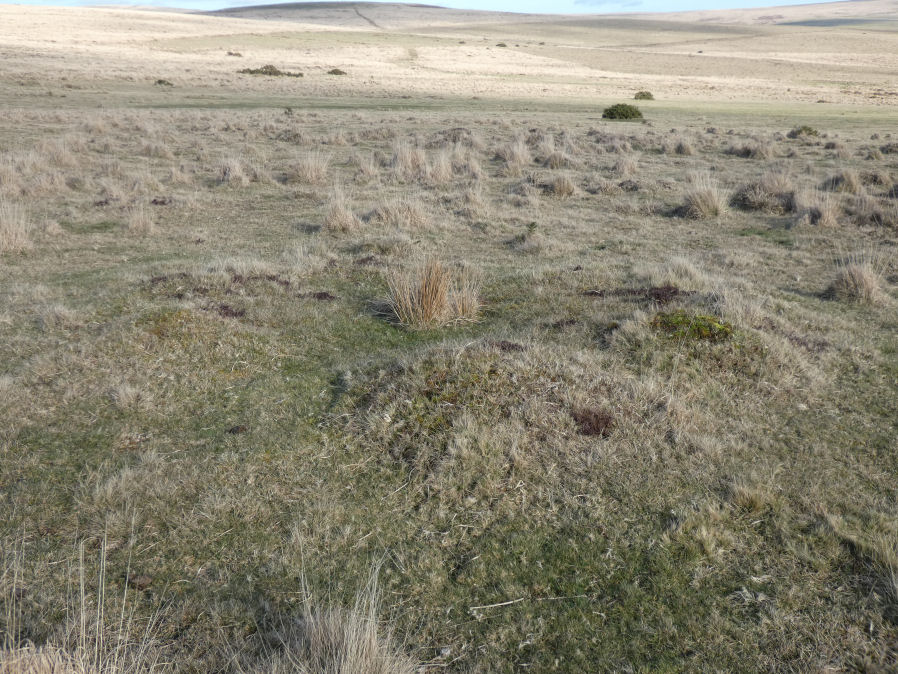
Notes
"A low flat-topped mound measuring 7.3m north-south by 7.0m and standing a maximum of 0.4m high. An amorphous hollow lies slightly west of centre. While this feature appears in form to be a prehistoric cairn it overlies ridge and furrow and is associated with a number of tin pits that have been adapted for military training. At the earliest it is probably a post medieval stone clearance heap". Author visited site 19/02/23. A very disturbed feature consistent with the description on the HER quoted above. SX 56293 66282 on my garmin.