
Sourton Common Cairn Alignment
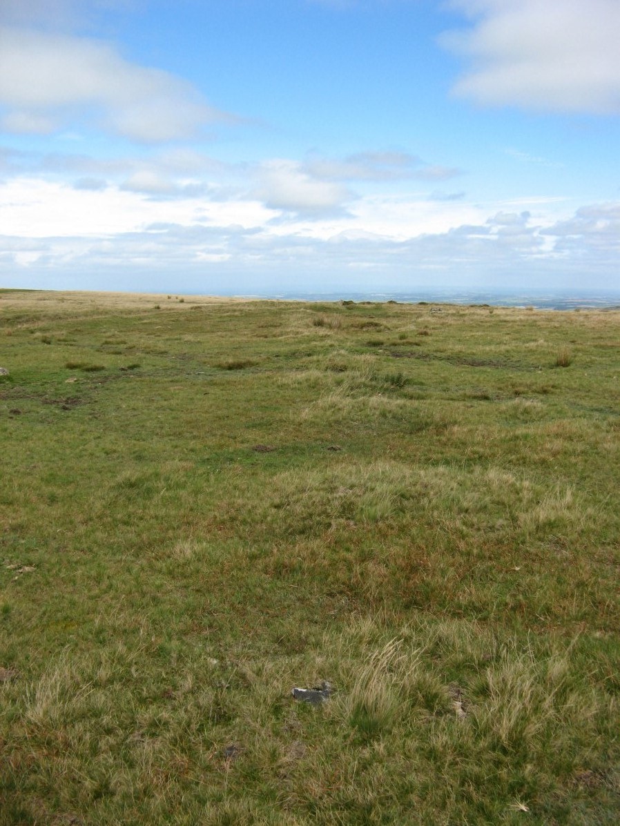
Photo taken on 09-09-2018
Database entries
OS Map: SX 54623 89529
OS Source: Garmin
HER: MDV55327
Alternate name: Sourton Common
Short Name: CN SourtonRow
Exist: Yes
Record: Unique
Record Source: HER
Cairn Class: Yes
Dimensions (m): 344.5
Lidar: SX 54623 89529
Nearest Bus Stop: Sourton Windard Terrace (1.4 km) [Route: 118]
Nearby sites: SX 54623 89529
Notes
Cairn alignment crossing a ridge forming a saddle between Sourton Tor to w and corn ridge to e. It is 344.5m long, running n-s. The author of PDW visited and logged the location of the individual cairns on 09/09/2018 and again on 22/06/2022. The area to the west and north of Sourton Tor is covered with thurfurs which are geological permafrost mounds which have a similar size and appearance. This begs the question as to whether this could be some peculiar linear geological feature. However, on the site visit on 22/06/2022 it was clear many of the cairns include piles of rocks which suggest they are indeed man-made.N.B. HER record MDV50568 replicates much of this entry, however we will treat MDV50568 as the entry for the southernmost terminal cairn for this alignment as that cairn does not otherwise have an entry. The HER grid reference is a considerable distance (230m) to the south of this cairn alignment and requires correction. The southern terminal cairn is at SX 54623 89529 and is the location used for this PDW record.