
Cosdon Beacon Embanked Cairn Circle and Cist
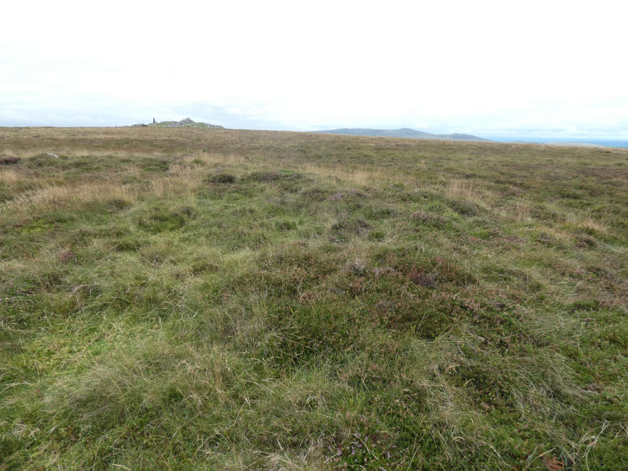
Photo taken on 12-09-2021
Database entries
PDW coverage: Dartmoor Site: Cosdon Hill Triple Stone Row
OS Map: SX 63708 91593
OS Source: Google
Butler OS: SX63719159
HER: MDV6898
Megalithic Portal: 10325
PMD: Cosdon Summit S.
Alternate name: Cosdon Hill 3
Short Name: CT Cosdon 3
Butler map: 40.7.3
Butler Vol 5: p.164 & Fig.105
Dixon Cist #: 120
Grinsell: SOUTH TAWTON 2
Turner: B14
DPD page: 152
Exist: Yes
Record: Unique
Record Source: Butler
Hut Class: No
Cist Class: Yes
Cairn Class: Yes
Barrow Report: 21
Dimensions (m): c.18.0 x 0.4
Lidar: SX 63708 91593
Guide Map: 3
Nearest Bus Stop: Ramsley (2.6 km) [Route: 670,671,6A]
Nearby sites: SX 63708 91593
Notes
"Ring cairn and cist on summit ridge of Cawsand Hill. Cairn forms part of a cemetery including at least 2 round cairns, 2 ring cairns and one platform cairn. Earthwork survives as a 2m wide and 0.4m high circular rubble bank, faced with close set stones around its outer edge and surrounds an internal area measuring 18m ew by 17m ns. A mound measuring 6m in diam and 0.2m high stands in the centre of the area enclosed by the circular bank and contains a stone cist with 2 slabs surviving." Turner B14(diagram p.59). Butler Cosdon Beacon 3 Vol. 2. Map 40.7.3 (diagram Vol. 5. p.164). NMR Cairn B. Possible cist? This site is difficult to photograph, the photo shows part of one side of the ring.References
These are selected references with an emphasis on out of copyright sources linked as PDFs. For more detailed references try any linked HER or PMD record above.
- Butler, Jeremy, Dartmoor Atlas of Antiquities, vol.2: The North, (1991)
- Butler, Jeremy, Dartmoor Atlas of Antiquities, vol.5: The Second Millennium B.C., (1997)
- Croker, J. G., A guide to the eastern escarpment of Dartmoor, (1851)
- Falcon, T.A., Dartmoor: A Note On Graves, T.D.A. Vol.37 pp.457-461 (1905)
- Grinsell, L.V., Dartmoor Barrows, Devon Archaeological Society Proceedings No.36 (1978)
- Rowe, Samuel, A Perambulation of Dartmoor (3rd Edition), (1896)
- Turner, J.R., Ring Cairns, stone circles and related monuments on Dartmoor, D.A.S.P. No.48 pp.27-86 (1990)
- Worth, R. Hansford, Barrow Report 21, T.D.A. Vol.34 pp.104- 146 (1902)