
Mardon Down NE 2 Cairn
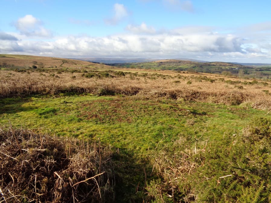
Photo taken on 26-01-2018
Database entries
OS Map: SX 77463 87921
OS Source: Google
HER: MDV20073
Alternate name: Mardon Down NE 2
Short Name: CN Mardon NE 2
Exist: Yes
Record: Unique
Record Source: HER
Hut Class: No
Cairn Class: Yes
Dimensions (m): 4.0 x 0.3
Lidar: SX 77463 87921
Guide Map: 59
Nearest Bus Stop: Moretonhampstead Court Street Car Park (3.9 km) [Route: 173, 171(20/07/26 to 19/09/26)]
Nearby sites: SX 77463 87921
Notes
The source of this record is the HER which gives a location of SX 77500 87928. From Google Earth this would place this site deep in bracken cover. Around 40 m due West there is a clerigthat looks plausibly like a cairn from Google Earth. This is just a few meters north of the possible cist. PDW is assuming the HER record is referring to this location i.e. SX 77463 87921. Also it seems likely that HER record 20073 refers to the same site despite different NGRs - it is little to the north - so possible duplicate entries.UPDATE 31/12/2022. This record is now linked to MDV20073, record MDV105931 has been deleted.
Cairn A, see HER record MDV20075: (16/02/1982) Four cairns are visible on a slight west slope near the eastern summit of Mardon Down.
A: SX 77508792. Diameter 4.0m., height 0.3m.
B: SX 77478778. Diameter 5.5m., height 0.4m.
C: SX 77498779. Elongated, 6.0m. north to south, 2.0m. wide.
D: SX 77508779. Diameter 5.5m., height 0.4m.