
Parke 1 Reported Cairn
Database entries
OS Map: SX 80945 78436
OS Source: Jowan Albon
HER: MDV122315
Alternate name: Parke 1
Short Name: CN-Parke 1
Exist: Yes
Record: Unique
Hut Class: Maybe
Cairn Class: Yes
Lidar: SX 80945 78436
Nearest Bus Stop: Bovey Tracey Dolphin Square (0.7 km) [Route: 171(20/07/26 to 19/09/26)]
Nearby sites: SX 80945 78436
Notes
"The circular ditched crop mark sits at the end of a natural grassy promontory that appears to be surrounded by two linear earthworks, giving it a view over the marshes to the north-east. The grid reference is 809784. From the measurements, it appears that it is almost a perfect circle. The ditch is unbroken.""Measurements
North to South (From outer edges of the crop mark ring) - 7 metres 50 cm
North to South (From inner edges of the crop mark ring) - 4 metres 70 cm
East to West (From outer edges of crop mark ring) - 7 metres 80 cm
East to West (From inner edges of crop mark ring) - c.5 metres"
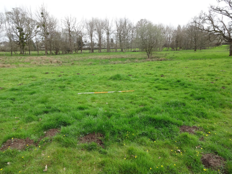
Photo by Jowan Albon. Reproduced with permission, copyright remains with Jowan Albon.