
Foxtor Mires W. Platform Cairn Circle and Cist
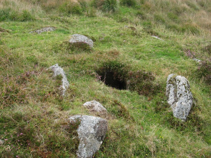
Photo taken on 13-09-2014
Database entries
OS Map: SX 60780 70484
OS Source: Google
Butler OS: SX60767047
HER: MDV12967
Megalithic Portal: 24008
PMD: Whiteworks
Alternate name: Foxtor Mires W.
Short Name: CT FoxTorMireW
Butler map: 64.6
Dixon Cist #: 135
Turner: E19
DPD page: 97
Exist: Yes
Record: Unique
Record Source: Butler
Hut Class: No
Cist Class: Yes
Cairn Class: Yes
Dimensions (m): 5.0 x 0.5 C
Lidar: SX 60780 70484
Guide Map: 39
Nearest Bus Stop: Princetown Dartmoor Visitor Centre (4.5 km) [Route: 98,171(20/07/26 to 19/09/26)]
Nearby sites: SX 60780 70484
Notes
"Seven large orthostats of the retaining circle remain in situ on the south and south-east side (see plan). The cist is entirely below ground level to a depth of 0.7m and measures 1.0m by 0.6m. The two endstones and two sidestones are visible; a stone which may be the coverstone lies on the ground to one side". Lethbridge diagram p.93, photos bottom p.97. Butler Foxtor Mires W. - Vol. 4. Map 64.6 (diagram p.222). Cairn with kerb circle, visible on N, E & W sides, with a central cist.References
These are selected references with an emphasis on out of copyright sources linked as PDFs. For more detailed references try any linked HER or PMD record above.
- Butler, Jeremy, Dartmoor Atlas of Antiquities, vol.4: The South-East, (1993)
- Lethbridge, William D., Discover Preshistoric Dartmoor, (2015)
- Turner, J.R., Ring Cairns, stone circles and related monuments on Dartmoor, D.A.S.P. No.48 pp.27-86 (1990)