
Royal Hill Summit Cist
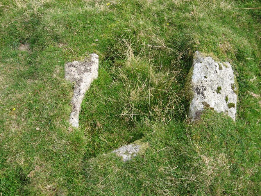
Photo taken on 13-09-2014
Database entries
OS Map: SX 61295 72792
OS Source: Google
HER: MDV18391
Megalithic Portal: 45798
PMD: Royal Hill Summit
Alternate name: Royal Hill Summit
Short Name: CT RoyalHill 7
Butler map: 65.5.7
Butler Vol 5: p.185 & Fig.128
Dixon Cist #: 143
DPD page: 102
Exist: Yes
Record: Unique
Record Source: Butler
Hut Class: No
Cist Class: Yes
Cairn Class: Yes
Dimensions (m): 0.8 x 0.6 C
Lidar: SX 61295 72792
Guide Map: 39
Nearest Bus Stop: Two Bridges Hotel (3.0 km) [Route: 98,171,172]
Nearby sites: SX 61295 72792
Notes
Butler Royal Hill Summit Vol. 4. Map 65.2 (diagram Vol. 5. p.185). "The cairn 7.4m E to W, and 6.5m N to S, and about 0.5m high. It is turf covered, but the tops of three stones of an inner retaining circle are exposed to a height of 0.3m. The largest is 1.1m long and 0.2m thick ... The cist, oriented E to W is largely infilled; internally it measures 0.8m by 0.6m, and is 0.2m deep. The coverstone is missing as is the stone at the E end. The others take the form of irregular boulders rather than slabs". Lethbridge diagram p.102 Cist(D), photo p.102.References
These are selected references with an emphasis on out of copyright sources linked as PDFs. For more detailed references try any linked HER or PMD record above.
- Butler, Jeremy, Dartmoor Atlas of Antiquities, vol.4: The South-East, (1993)
- Butler, Jeremy, Dartmoor Atlas of Antiquities, vol.5: The Second Millennium B.C., (1997)