
Butterdon Hill (nr. Moretonhampstead) Standing Stone
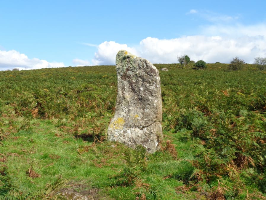
Photo taken on 01-09-2017
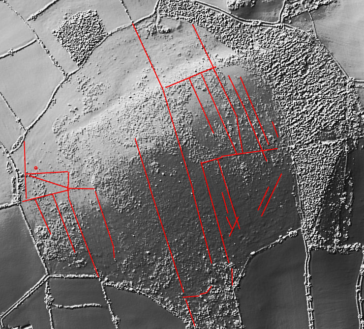
Annotated Lidar imagery showing reaves on Butterdon Down. The small circle is location of the standing stone.
Database entries
PDW coverage: Dartmoor Walk: Butterdon Hill (nr Moretonhampstead) Standing Stone
OS Map: SX 74784 88403
OS Source: Google
HER: MDV8278
Megalithic Portal: 33950
PMD: Butterdon Down Standing Stone
Alternate name: Butterdon Down
Short Name: SS Butter Down
Exist: Yes
Record: Unique
Record Source: PDW
Hut Class: No
Cairn Class: Maybe
Dimensions (m): 2.3
Lidar: SX 74784 88403
Guide Map: 14
Nearest Bus Stop: Moretonhampstead Court Street Car Park (3.1 km) [Route: 173, 171(20/07/26 to 19/09/26)]
Nearby sites: SX 74784 88403
Notes
HER quoting J. V. S. Cocks Standing stone - prob. prehistoric. An upright stone, stands at the west edge of Butterdon Down, Moretonhampstead, beside the public footpath, 600 yards from Cranbrook Farm. It is between six and seven feet high and of slightly curved slab shape. Ref: Devon & Cornwall Notes & Queries 31 1970 pp. 225-26.HER quoting Turner: Standing stone measuring over 2.0 meters in height located on the line of a public footpath at SX74778839. This stone may be standing on a cairn.
Butterdon Down reaves and triangular stones
This area has not featured in most of the archaeological accounts of Dartmoor. It was outside of the areas covered by Butler's five volume Dartmoor Atlas of Antiquities.
The author visited Butterdon Down with Steve Szypko on 26/03/2026 and we took a look at the three triangular stones and the reave system and cairns.
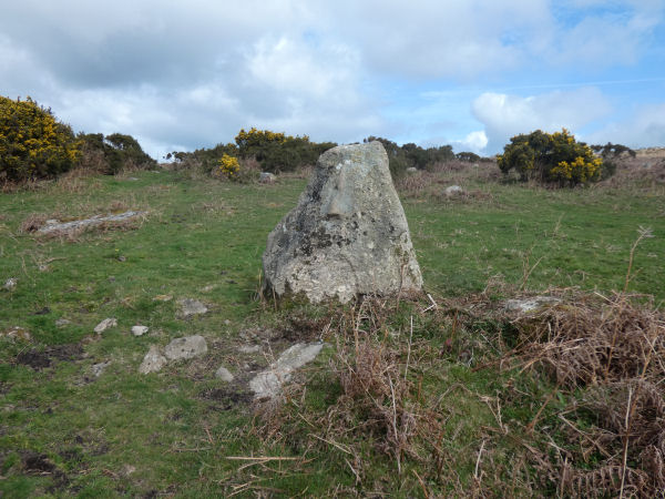
Butterdon Down Triangular stone 1 (SX 74839 88252). Photo 26/03/26
The standing stone has very visible packing stones (Turner suggests a cairn). Very nearby are extensive prehistoric banks, part of the reave system. There are elements probably not marked on the annotated map near the standing stone and the first two triangular stones. The third triangular stone is near the cairns on the summit of the hill.
The reave system can be made out on Lidar imagery. The area around the hill has modern field boundaries and some of the fainter reaves on the hill can be seen to join the modern fields which shows the modern field system has ancient origins.
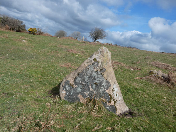
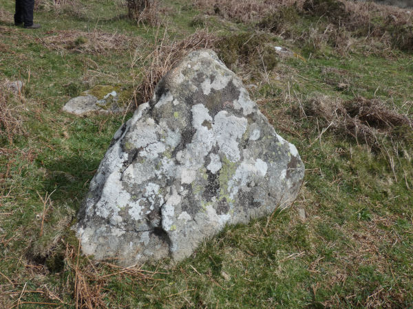
Butterdon Down Triangular stone 2 (SX 74787 88349). The standing stone is neaby in the background. Photo 26/03/26
Along with the well-known standing stone there are three triangular stones on Butterdon Down of uncertain age although all of them are embedded within the reaves which suggests they are also bronze age. These stones are interesting and photos of the 3 appear here.
Butterdon Down Triangular stone 3 (SX 75065 88404). This one is near the cairns at the summit of the hill and is clearly within a reave. Photo 26/03/26
See also:
Butterdon Down 1 Cairn
Butterdon Down 2 Cairn
References
These are selected references with an emphasis on out of copyright sources linked as PDFs. For more detailed references try any linked HER or PMD record above.
- Gerrard, Sandy, English Heritage Book of Dartmoor: Landscapes Through Time, (1997)