
White Hill S.W.1 Stone Ring Cairn Circle
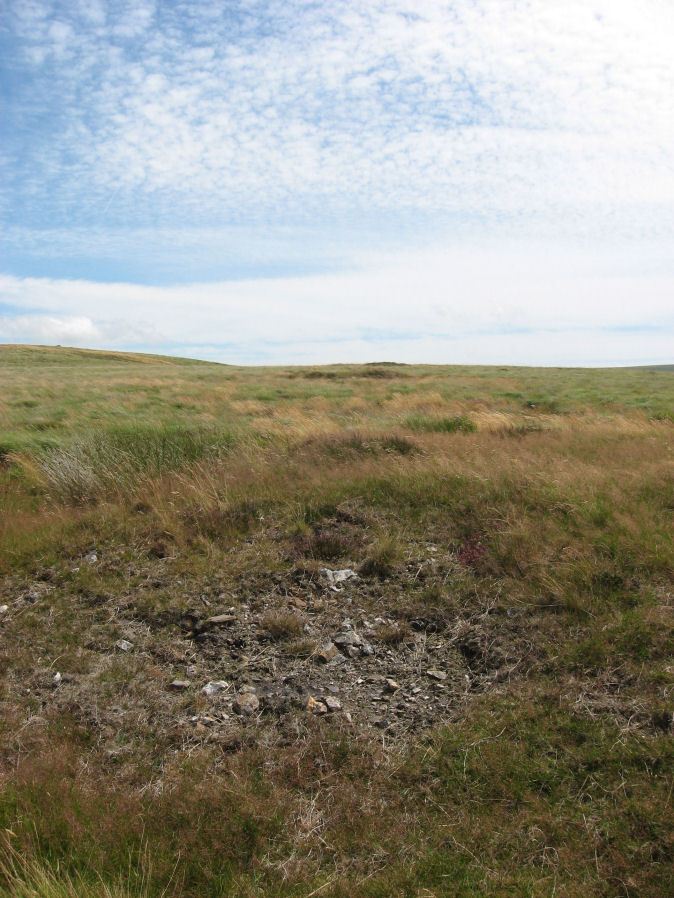
Photo taken on 18-04-2026
Database entries
OS Map: SX 52941 83690
OS Source: Garmin
Butler OS: SX52948368
HER: MDV21078
Megalithic Portal: 45821
Alternate name: White Hill S.W.1
Short Name: RC WhiteHiSW 1
Butler map: 32.22.1
Grinsell: PETER TAVY 1
Turner: A8
Exist: Yes
Record: Unique
Record Source: Butler
Hut Class: No
Cairn Class: Yes
Dimensions (m): 19.0 x 0.3
Lidar: SX 52941 83690
Guide Map: 15
Nearest Bus Stop: Dartmoor Inn (2.2 km) [Route: 118]
Nearby sites: SX 52941 83690
Notes
HER: Cairn of 15 metres diameter with a bank 3.5 metres wide by 0.5 metres high within cairn cemetery to the south-west of White Tor. Central hollow 6 metres long by 1.7 metres wide by 0.3 metres deep and The earthwork appears as a raised internal platform measuring 15m in diameter surrounded by a circular bank 3.5m wide and 0.5m high. A shallow hollow in the centre of the internal area suggests robbing or partial early excavation.Cairn is part of an alignment of cairns.
Butler Cairns 1-6: SX52948369, SX53008367, SX53058366, SX53098365, SX53148365, SX53158366
References
These are selected references with an emphasis on out of copyright sources linked as PDFs. For more detailed references try any linked HER or PMD record above.
- Butler, Jeremy, Dartmoor Atlas of Antiquities, vol.2: The North, (1991)
- Grinsell, L.V., Dartmoor Barrows, Devon Archaeological Society Proceedings No.36 (1978)
- Turner, J.R., Ring Cairns, stone circles and related monuments on Dartmoor, D.A.S.P. No.48 pp.27-86 (1990)