
Mardon Down (E) Stone Ring Cairn Circle
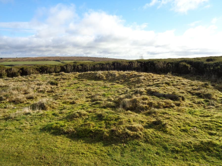
Photo taken on 26-01-2018
Database entries
PDW coverage: Dartmoor Site: Mardon Down Stone Circle & Cairns
OS Map: SX 76894 87602
OS Source: Google
HER: MDV12771
Megalithic Portal: 45824
Alternate name: Mardon Down (E)
Short Name: RC Mardon East
Butler Vol 5: p.147 & Fig.89
Turner: A10
DPD page: 149
Exist: Yes
Record: Unique
Record Source: PDW
Hut Class: No
Cairn Class: Yes
Dimensions (m): 13.3
Lidar: SX 76894 87602
Guide Map: 59
Nearest Bus Stop: Moretonhampstead Court Street Car Park (3.0 km) [Route: 173, 171(20/07/26 to 19/09/26)]
Nearby sites: SX 76894 87602
Notes
HER: Earthwork lying 150 metres east of the summit ridge, probably a robbed cairn or enclosure, comprising a curving stony bank forming the outline suggestive of an approximate circle. Badly damaged on the north and north-east sides and mostly effaced on the west by a path.References
These are selected references with an emphasis on out of copyright sources linked as PDFs. For more detailed references try any linked HER or PMD record above.
- Butler, Jeremy, Dartmoor Atlas of Antiquities, vol.5: The Second Millennium B.C., (1997)
- Lethbridge, William D., Discover Preshistoric Dartmoor, (2015)
- Newman, Phil, A Stone Circle and Cairn Group on Mardon Down, Moretonhampstead, Devon An Earthwork Survey, Southwest Landscape Investigations (2017)
- Turner, J.R., Ring Cairns, stone circles and related monuments on Dartmoor, D.A.S.P. No.48 pp.27-86 (1990)