
Corn Ridge Stone Ring Cairn Circle
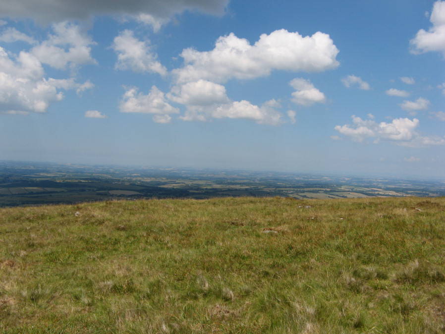
Photo taken on 08-07-2018
Database entries
OS Map: SX 55138 89153
OS Source: Google
Butler OS: SX55118920
HER: MDV3172
Megalithic Portal: 52276
Alternate name: Branscombe's Loaf 2
Short Name: RC Branscomb 2
Butler map: 43.12.2
Grinsell: BRIDESTOWE and SOURTON COMMON 10
Turner: A14
Exist: Yes
Record: Unique
Record Source: Butler
Hut Class: No
Cairn Class: Yes
Dimensions (m): 14.5 x 0.3
Lidar: SX 55138 89153
Guide Map: 5
Nearest Bus Stop: Sourton Windard Terrace (2.7 km) [Route: 118]
Nearby sites: SX 55138 89153
Notes
This ring cairn can just about be seen in the photograph that accompanies this record, it is a bit difficult to capture in a photograph. It is a bit of an indistinct circular bank. It is perhaps easier to see in the Google Earth satellite imagery - which can help to then make sense of the photograph. One of 4 cairns on Corn Ridge - see Turner "Ring Cairns, Stone Circles and Related Monuments on Dartmoor" DASP No. 48 p59 for diagram of the 4 cairns.References
These are selected references with an emphasis on out of copyright sources linked as PDFs. For more detailed references try any linked HER or PMD record above.
- Butler, Jeremy, Dartmoor Atlas of Antiquities, vol.2: The North, (1991)
- Grinsell, L.V., Dartmoor Barrows, Devon Archaeological Society Proceedings No.36 (1978)
- Turner, J.R., Ring Cairns, stone circles and related monuments on Dartmoor, D.A.S.P. No.48 pp.27-86 (1990)