
Whitchurch Common (N) Stone Ring Cairn Circle
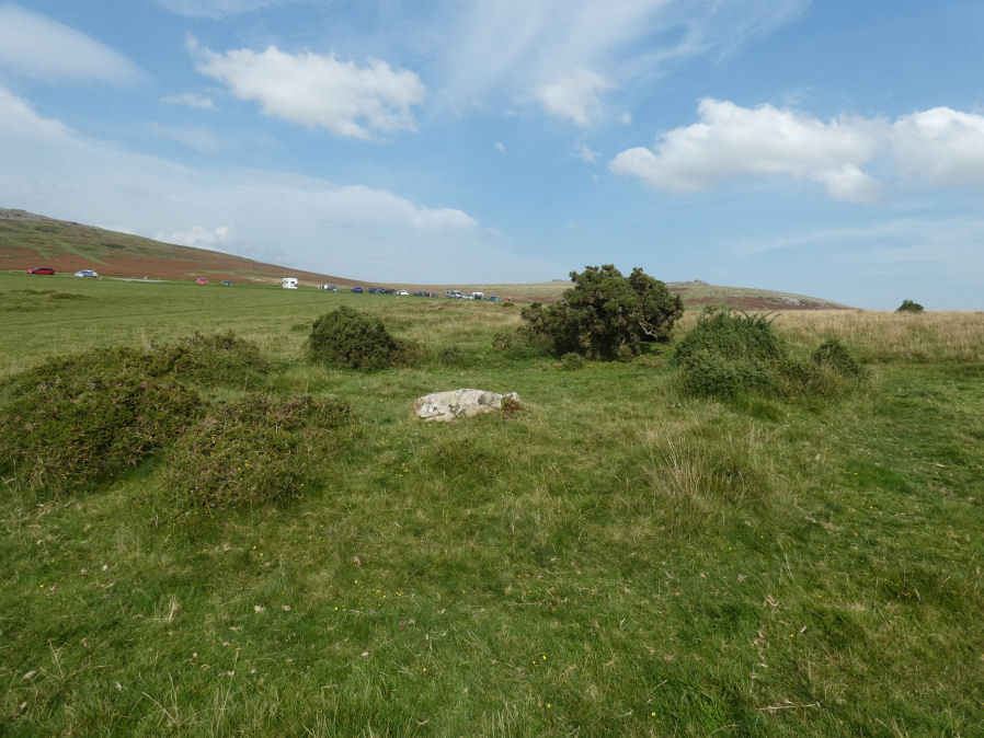
Photo taken on 09-09-2023
Database entries
OS Map: SX 53020 75005
OS Source: Garmin
HER: MDV4115
Megalithic Portal: 3535
Alternate name: Whitchurch Common N.
Short Name: RC Whitchurch1
Turner: A41
Exist: Yes
Record: Unique
Record Source: PDW
Hut Class: Maybe
Cairn Class: Maybe
Dimensions (m): 5.5
Lidar: SX 53020 75005
Guide Map: 32
Nearest Bus Stop: Tavistock Higher Longford (1.8 km) [Route: 98,171,172]
Nearby sites: SX 53020 75005
Notes
Hut Circle or ring cairn? "Ring cairn with entrance. Stone ring 5.5m internal diam, with bank 1.5m wide and 0.4m high.2.5m wide entrance on ssw side" " A hut with an internal diam of 5.8m and walling 1.5m wide and 0.4m high; there is an entrance gap in the sw. This is evidently grinsell's cairn and worth's barrow.(broadly it is on the n slope of barn hill as stated by worth, but locally on the sw slope). While the structure might in isolation be construed as a cairn, the lack of any internal stone, the consistently smooth angle of the inner face of the wall and the presence of other huts and a field system militate against the worth and grinsell classifications"References
These are selected references with an emphasis on out of copyright sources linked as PDFs. For more detailed references try any linked HER or PMD record above.
- Turner, J.R., Ring Cairns, stone circles and related monuments on Dartmoor, D.A.S.P. No.48 pp.27-86 (1990)
- Worth, R. Hansford, Barrow Report 39, T.D.A. Vol.52 pp.77-79 (1920)