
Black Newtake (b) Stone Ring Cairn Circle
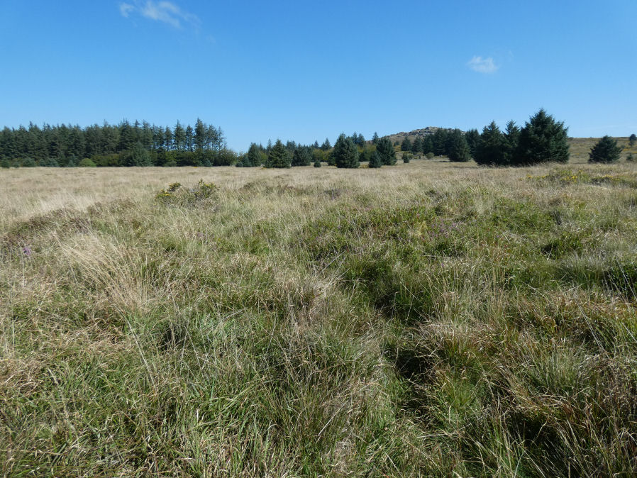
Photo taken on 04-09-2023
Database entries
PDW coverage: Dartmoor Site: Lakehead Hill
OS Map: SX 63863 76038
OS Source: Garmin
Butler OS: SX63857603
HER: MDV5889
Megalithic Portal: 45841
Alternate name: Bellever Tor 4
Short Name: RC Bellever 4
Butler map: 27.20.4
Grinsell: LYDFORD 61
Turner: A50
DPD page: 119
Exist: Yes
Record: Unique
Record Source: Butler
Hut Class: No
Cairn Class: Yes
Barrow Report: 57
Dimensions (m): 6.0 x 1.0
Lidar: SX 63863 76038
Guide Map: 35
Nearest Bus Stop: Powder Mills (1.4 km) [Route: 171]
Nearby sites: SX 63863 76038
Notes
"Cairn visible as unbroken circular bank 11.5 metres in external diameter with a bank 2.4 to 3.7 metres wide by 0.75 metres high enclosing a flat platform circa 6 metres diameter and 0.5 metres above ground surface. Some small stones appear in the north and east margins, and several larger stones are visible on the platform." Lethbridge diagram p.119 (Cairn near Cist 1) - no photo.NB. Butler cairns 4 and 5 had previously been transposed in the listings here. The original records for both have been retained and the Butler number corrected and the grid references corrected. This was previously listed as Butler cairn 5 and is now correctly identiifed as Cairn 4. See also: Dartmoor Explorations: Antiquities of Black Newtake and Environs
References
These are selected references with an emphasis on out of copyright sources linked as PDFs. For more detailed references try any linked HER or PMD record above.
- Butler, Jeremy, Dartmoor Atlas of Antiquities, vol.2: The North, (1991)
- Grinsell, L.V., Dartmoor Barrows, Devon Archaeological Society Proceedings No.36 (1978)
- Turner, J.R., Ring Cairns, stone circles and related monuments on Dartmoor, D.A.S.P. No.48 pp.27-86 (1990)
- Worth, R. Hansford, Barrow Report 57, T.D.A. Vol.70 pp.59-62 (1938)