
Stalldown Enclosed Settlement
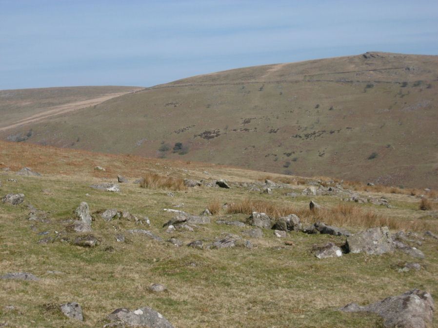
Photo taken on 19-03-2011
Database entries
PDW coverage: Dartmoor Site: Stalldown Stone Row
OS Map: SX 63665 61217
OS Source: Constructed
HER: MDV4351
Megalithic Portal: 45322
Alternate name: Stalldown
Short Name: ES Stalldown
Exist: Yes
Record: Unique
Record Source: PDW
Hut Class: No
Lidar: SX 63665 61217
Guide Map: 56
Nearest Bus Stop: Cornwood Crossways (4.7 km) [Route: 59]
Nearby sites: SX 63665 61217
Notes
"This settlement consists of 6 enclosures, mostly in poor condition, with 13 associated hut circles and 17 detached ones and extends over 5ha of a gentle to moderate, well drained, southeast facing slope at 270m above OD."References
These are selected references with an emphasis on out of copyright sources linked as PDFs. For more detailed references try any linked HER or PMD record above.
- Baring-Gould, Sabine, A Book of Dartmoor, (2002)
- Butler, Jeremy, Dartmoor Atlas of Antiquities, vol.4: The South-East, (1993)
- Gerrard, Sandy, English Heritage Book of Dartmoor: Landscapes Through Time, (1997)
- Newman, Phil, The Upper Erme Valley Dartmoor National Park Devon An Archaeological Survey, Southwest Landscape Investigations (2018)