
High Willhays Stone Ring Cairn Circle
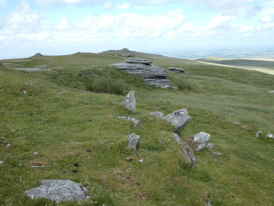
Photo taken on 27-12-2025
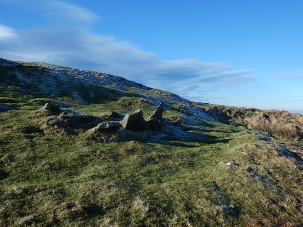
View with bank in front of the standing stones (27-12-2025)
Database entries
OS Map: SX 58032 89224
OS Source: Garmin
HER: MDV21296
Megalithic Portal: 36417
Alternate name: High Willhays
Short Name: RC HighWill
Butler map: 42.2
Turner: A65
Exist: Yes
Record: Unique
Record Source: Butler
Hut Class: No
Cairn Class: Yes
Dimensions (m): 10 x 0.6
Lidar: SX 58032 89224
Guide Map: 6
Nearest Bus Stop: Sourton Windard Terrace (6.2 km) [Route: 118]
Nearby sites: SX 58032 89224
Notes
"Higher willhayes ring cairn. Irregular segment of stone ring set against rock outcrop.10m wide n-s and 5.5m radius to outcrop, with bank 1m wide and 0.2m high. Also contains segment of stone setting 7.5m wide n-s, 2.5m radius to outcrop"References
These are selected references with an emphasis on out of copyright sources linked as PDFs. For more detailed references try any linked HER or PMD record above.
- Butler, Jeremy, Dartmoor Atlas of Antiquities, vol.2: The North, (1991)
- Newman, Phil, Archaeological Sites within Okehampton Training Area, Southwest Landscape Investigations (2014)
- Turner, J.R., Ring Cairns, stone circles and related monuments on Dartmoor, D.A.S.P. No.48 pp.27-86 (1990)