
Yes Tor E Cairn
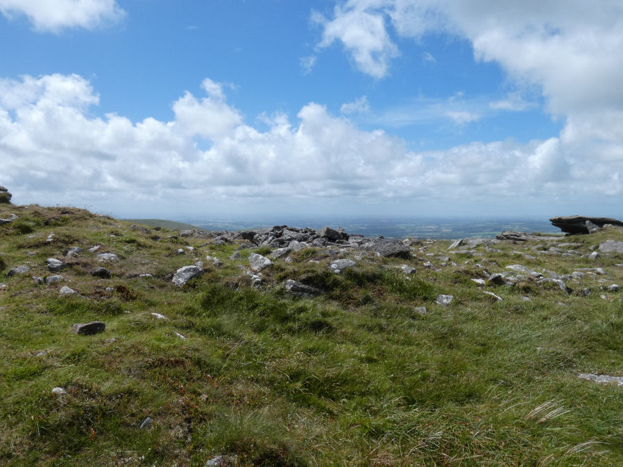
Photo taken on 26-06-2022
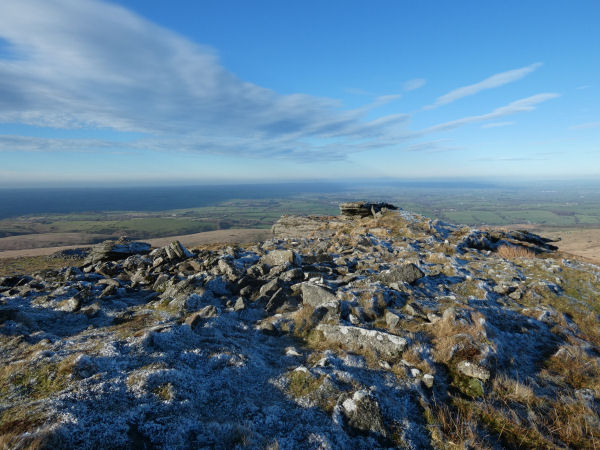
Photo on a frosty day 27-12-2025
Database entries
OS Map: SX 58044 90185
OS Source: Google
Butler OS: SX58039091
HER: MDV4814
Megalithic Portal: 36416
Alternate name: Yes Tor 2
Short Name: CN Yes Tor E
Butler map: 42.1.2
Grinsell: OKEHAMPTON HAMLETS 2
Exist: Yes
Record: Unique
Record Source: Butler
Hut Class: No
Cist Class: Maybe
Cairn Class: Yes
Dimensions (m): 20+
Lidar: SX 58044 90185
Guide Map: 6
Nearest Bus Stop: Okehampton Railway Station (5.7 km) [Route: 118,306,6A]
Nearby sites: SX 58044 90185
Notes
One of two cairns on Yes Tor. On the top of the flat outcrop of Yes Tor and piled against the west side is an amorphous mass of stones representing a ruined cairn. The patch of stones on the top is more or less 14.0m across and 0.3 m high and the piling against the outcrop is 2.3m high. It is possible that this has resulted from bulldozing the cairn over the side of the outcrop but the stones appear quite stable and compacted.The central excavation is approximately 12.0m across and extends to 0.5m below the natural ground level. In the base of the hollow and on its south side are three partly buried slabs each about 1.7m long, 0.2m thick and more than 0.5m wide, which look like the displaced remains of a former cist.
References
These are selected references with an emphasis on out of copyright sources linked as PDFs. For more detailed references try any linked HER or PMD record above.
- Butler, Jeremy, Dartmoor Atlas of Antiquities, vol.2: The North, (1991)
- Crossing, William, Guide to Dartmoor, (2001)
- Grinsell, L.V., Dartmoor Barrows, Devon Archaeological Society Proceedings No.36 (1978)
- Newman, Phil, Archaeological Sites within Okehampton Training Area, Southwest Landscape Investigations (2014)