
Corn Ridge N.W.1 Cairn
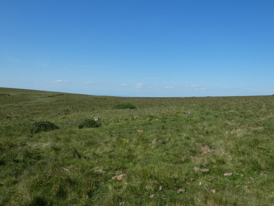
Photo taken on 22-06-2022
Database entries
OS Map: SX 54603 89454
OS Source: Garmin
Butler OS: SX54598943
HER: MDV4627
Megalithic Portal: 10022
Alternate name: Corn Ridge N.W.1
Short Name: CN CornRg NW1
Butler map: 43.10.1
Grinsell: BRIDESTOWE and SOURTON COMMON 1
Exist: Yes
Record: Unique
Record Source: Butler
Hut Class: No
Cairn Class: Yes
Dimensions (m): 11.0 x 0.3
Lidar: SX 54603 89454
Guide Map: 5
Nearest Bus Stop: Sourton Windard Terrace (2.0 km) [Route: 118]
Nearby sites: SX 54603 89454
Notes
Butler Corn Ridge NW1. Southern most of pair of cairns near stone circle. "The remains of a cairn, SX 54608942, which has been disturbed in the past - now heather covered. Diameter 10.5m, height 0.5m. One or two stones of the retaining circle are still visible but there is no trace of a cist to be seen." Previously listed as Sourton Tors S.E. - changed to the Butler name as less confusing given part of a pair of cairnsReferences
These are selected references with an emphasis on out of copyright sources linked as PDFs. For more detailed references try any linked HER or PMD record above.
- Butler, Jeremy, Dartmoor Atlas of Antiquities, vol.2: The North, (1991)
- Grinsell, L.V., Dartmoor Barrows, Devon Archaeological Society Proceedings No.36 (1978)