
Down Tor Cairn
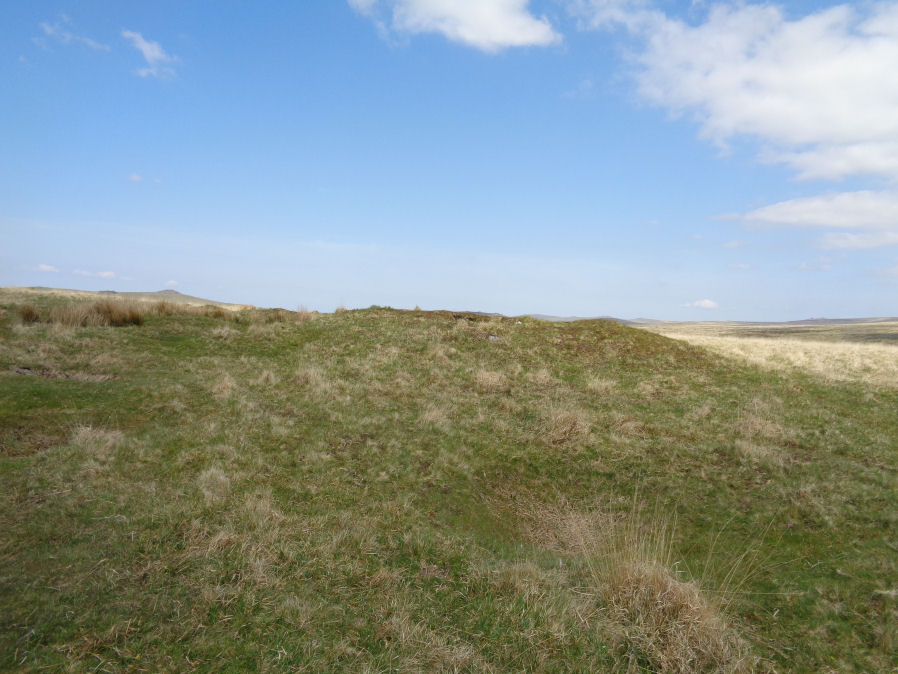
Photo taken on 19-05-2018
Database entries
OS Map: SX 58642 69315
OS Source: Garmin
Butler OS: SX58646931
HER: MDV3440
Megalithic Portal: 27903
Alternate name: Hingston Hill Summit 1
Short Name: CN Hingston 1
Butler map: 47.12.1
Grinsell: WALKHAMPTON 30
Exist: Yes
Record: Unique
Record Source: Butler
Hut Class: No
Cairn Class: Yes
Dimensions (m): 14.0 x 1.3
Lidar: SX 58642 69315
Guide Map: 43
Nearest Bus Stop: Princetown Dartmoor Visitor Centre (5.5 km) [Route: 98,171(20/07/26 to 19/09/26)]
Nearby sites: SX 58642 69315
Notes
"cairn mound measures 15.5m in diam and stands up to 1.5m high. A t-shaped trench cutting into the centre of the mound suggests partial early excavation, though the results of the investigation are not known. This cairn forms part of a ritual complex of monuments including 3 cairns, a stone alignment and enclosure". Approx 70 m NW of the cairn circle at the end of the Down Tor stone row.References
These are selected references with an emphasis on out of copyright sources linked as PDFs. For more detailed references try any linked HER or PMD record above.
- Butler, Jeremy, Dartmoor Atlas of Antiquities, vol.3: The South-West, (1994)
- Grinsell, L.V., Dartmoor Barrows, Devon Archaeological Society Proceedings No.36 (1978)