
Langstone Moor S.1 Cairn
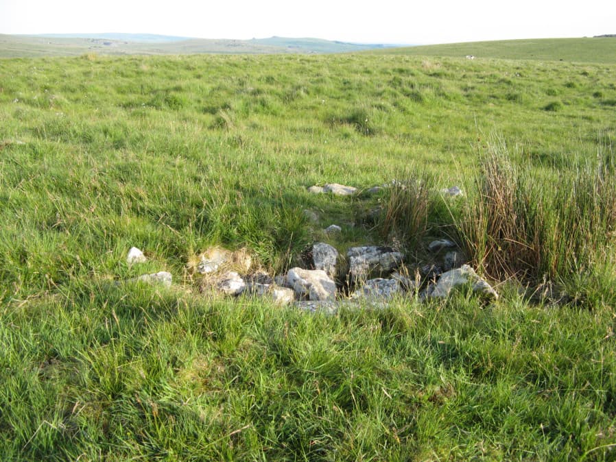
Photo taken on 25-06-2018
Database entries
OS Map: SX 54836 77640
OS Source: HER
Butler OS: SX54847763
HER: MDV4117
Alternate name: Langstone Moor S.1
Short Name: CN Langston S1
Butler map: 31.19.1
Grinsell: PETER TAVY 33
Exist: Yes
Record: Unique
Record Source: Butler
Hut Class: No
Cairn Class: Yes
Dimensions (m): c.15.0 x 0.4
Lidar: SX 54836 77640
Guide Map: 24
Nearest Bus Stop: Merrivale Dartmoor Inn (3.2 km) [Route: 98,171(20/07/26 to 19/09/26)]
Nearby sites: SX 54836 77640
Notes
Newman "Fairly large, flat-topped stony cairn (18) which was excavated by the Dartmoor Exploration Committee in 1899, 970 metres south-west of the stone circle. A flat stone was found but no other material retrieved. Disturbance caused by the diggers is visible on the west side of the mound."References
These are selected references with an emphasis on out of copyright sources linked as PDFs. For more detailed references try any linked HER or PMD record above.
- Baring-Gould, Sabine, Sixth Report of the Dartmoor Exploration Committee, T.D.A. Vol.31 pp.146-155 (1899)
- Butler, Jeremy, Dartmoor Atlas of Antiquities, vol.2: The North, (1991)
- Grinsell, L.V., Dartmoor Barrows, Devon Archaeological Society Proceedings No.36 (1978)
- Newman, Phil, The Langstone Moor Stone Circle, Peter Tavy, Devon and its Prehistoric Environs, English Heritage (2003)