
Hangershell Rock (East of) Cairn
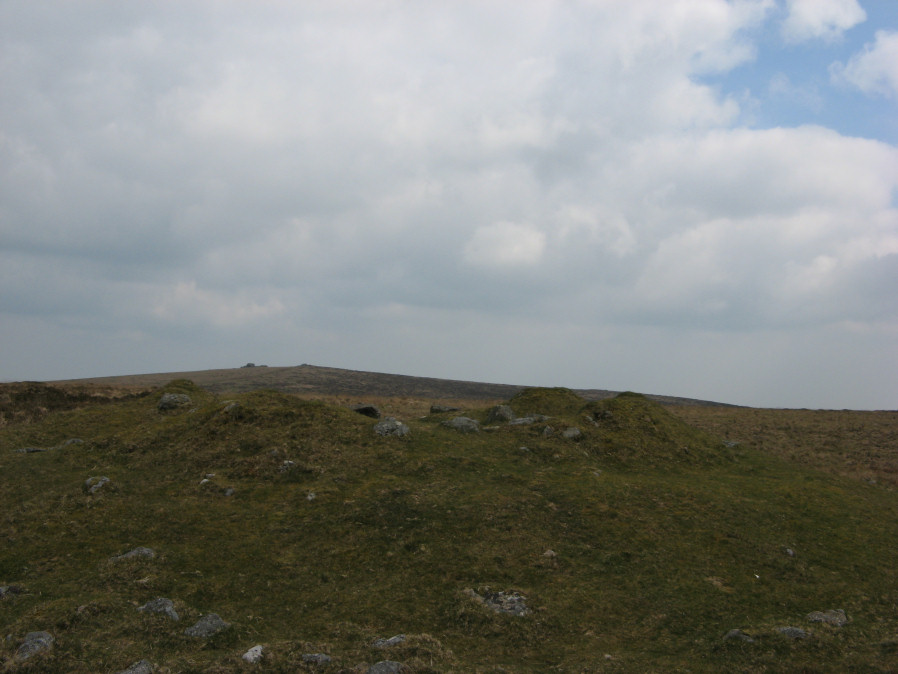
Photo taken on 25-11-2025
Database entries
OS Map: SX 65662 59404
OS Source: Google
Butler OS: SX65665940
HER: MDV3124
Megalithic Portal: 4615
Alternate name: Butterdon Ridge N.
Short Name: CN Butterdon 2
Butler map: 53.8.2
Grinsell: UGBOROUGH 15
Exist: Yes
Record: Unique
Record Source: Butler
Hut Class: No
Cairn Class: Yes
Barrow Report: 61
Dimensions (m): 18.0 x 1.5
Lidar: SX 65662 59404
Guide Map: 58
Nearest Bus Stop: Ivybridge BP Garage (Stop B) (4.9 km) [Route: 38]
Nearby sites: SX 65662 59404
Notes
East of hangershell rock large cairn with hollow centre. Diameter 17m, height 1.2m.References
These are selected references with an emphasis on out of copyright sources linked as PDFs. For more detailed references try any linked HER or PMD record above.
- Butler, Jeremy, Dartmoor Atlas of Antiquities, vol.4: The South-East, (1993)
- Grinsell, L.V., Dartmoor Barrows, Devon Archaeological Society Proceedings No.36 (1978)
- Worth, R. Hansford, Barrow Report 61, T.D.A. Vol.74 p.67 (1942)
- Worth, R.N., The Stone Rows of Dartmoor - Part 1, T.D.A. Vol.24 pp.387-417 (1892)