
Cotley Castle Fort
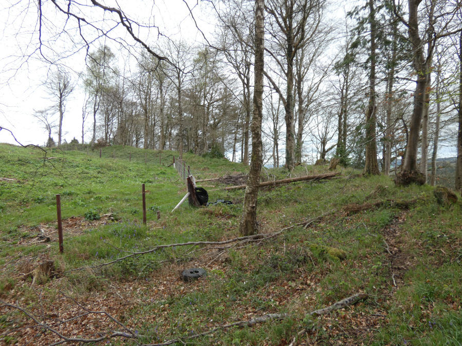
Photo taken on 13-04-2024
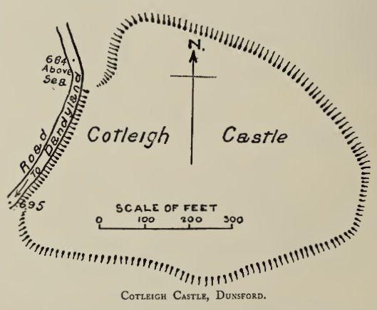
Plan: J.C. Wall in Ancient Earthworks (1906)
Database entries
PDW coverage: Dartmoor Resource: Table of Devon Iron Age Forts
OS Map: SX 86013 89541
OS Source: Google
HER: MDV9388
Megalithic Portal: 62734
Alternate name: Cotley Castle
Short Name: FT Cotley
Exist: Yes
Record: Unique
Record Source: Fox
Hut Class: No
Lidar: SX 86013 89541
Nearby sites: SX 86013 89541
Notes
"Earthworks of an early Iron Age hill-fort with a single rampart and ditch and two inturned entrances which has been cut by a modern road on its west side. The earthworks have been transcribed as part of the Winkleigh NMP project."References
These are selected references with an emphasis on out of copyright sources linked as PDFs. For more detailed references try any linked HER or PMD record above.
- Fox, Aileen, Prehistoric hillforts in Devon, (1996)
- Wall, J. Charles, Ancient Earthworks, The Victoria History of the County of Devon: v. 1 pp.573-630 (1906)