
Hembury Fort
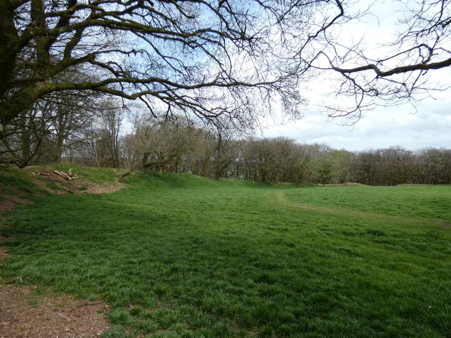
Photo taken on 14-04-2024
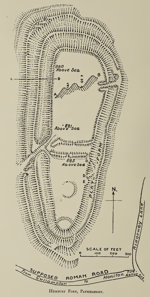
Plan: J.C. Wall in Ancient Earthworks (1906)
Database entries
PDW coverage: Dartmoor Resource: Table of Devon Iron Age Forts
OS Map: ST 11263 03127
OS Source: Google
HER: MDV1853
Megalithic Portal: 34692
Alternate name: Hembury
Short Name: FT Hembury
Exist: Yes
Record: Unique
Record Source: Fox
Hut Class: No
Lidar: ST 11263 03127
Nearby sites: ST 11263 03127
Notes
"The multivallate earthworks now visible on the promontory of Hembury are basically those of an Iron Age hillfort. However, these only represent part of the site's complex history. Evidence for Mesolithic activity has been found and in the southern end was 'fortified' with string of causewayed ditches. The fort was also occupied by the Roman army during their initial conquest of the south-west in the first century AD."The site was purchased in 2023 by the Devon Archaeological Society.
See also: Hembury Fort
References
These are selected references with an emphasis on out of copyright sources linked as PDFs. For more detailed references try any linked HER or PMD record above.
- Fox, Aileen, Prehistoric hillforts in Devon, (1996)
- Hutchinson, P. O., On the Hill Fortresses, Tumuli, and some other Antiquities of Eastern Devon, Journal of the British Archaeological Association Vol.18 pp.53-66 (1862)
- Kirwan, Rev. R., Notes on the Pre-historic Archaeology of East Devon. Part 4., T.D.A. Vol.4 pt 2 pp.641-653 (1871)
- Wall, J. Charles, Ancient Earthworks, The Victoria History of the County of Devon: v. 1 pp.573-630 (1906)