
High Peak Fort
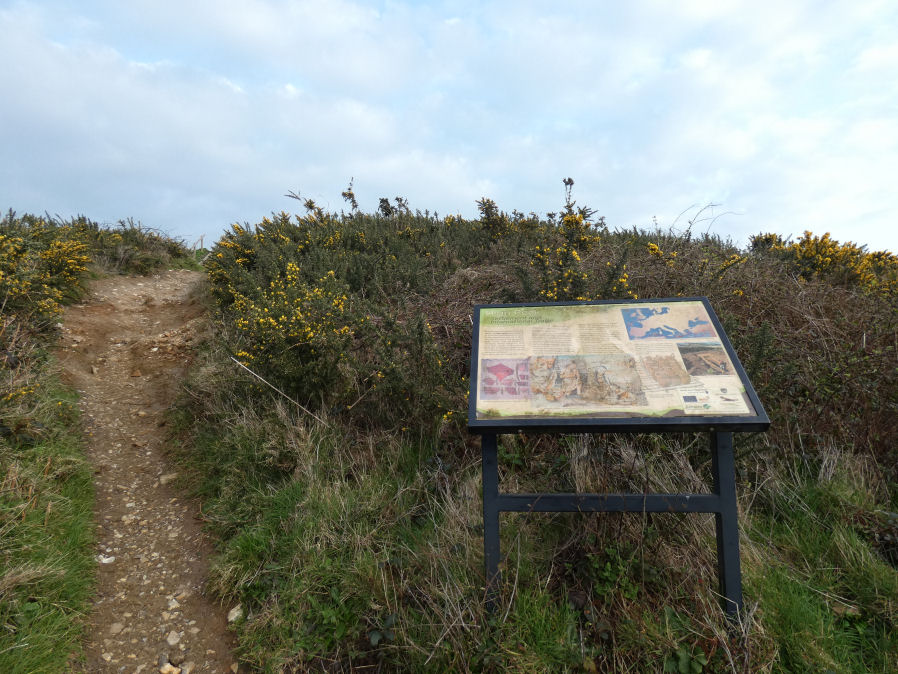
Photo taken on 11-03-2024
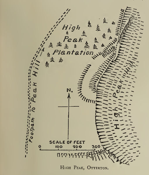
Plan: J.C. Wall in Ancient Earthworks (1906)
Database entries
PDW coverage: Dartmoor Resource: Table of Devon Iron Age Forts
OS Map: SY 10342 85952
OS Source: Google
HER: MDV15124
Megalithic Portal: 43929
Alternate name: High Peak
Short Name: FT High Peak
Exist: Yes
Record: Unique
Record Source: Fox
Hut Class: No
Lidar: SY 10342 85952
Nearby sites: SY 10342 85952
Notes
"High Peak Camp is a multi-period site, which encompasses the buried remains of part of an Early Neolithic causewayed enclosure and the earthworks and buried remains of part of an early medieval fortified settlement dated to the 5th and 6th centuries AD. The Early medieval defences comprise a rampart with large single flat-bottomed ditch on outside, and a smaller outer rampart on east side. Finds of imported Mediterranean amphorae are indicative of high status inhabitants with access to a European-wide trade network."It is located on the coast path between Ladram Bay and Sidmouth. A steep climb to the right (if heading towards Sidmouth).
References
These are selected references with an emphasis on out of copyright sources linked as PDFs. For more detailed references try any linked HER or PMD record above.
- Fox, Aileen, Prehistoric hillforts in Devon, (1996)
- Wall, J. Charles, Ancient Earthworks, The Victoria History of the County of Devon: v. 1 pp.573-630 (1906)