
Brent Tor Fort
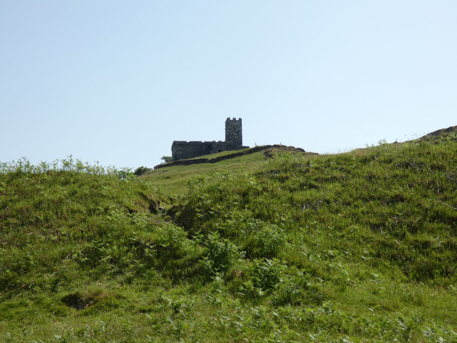
Photo taken on 17-06-2022
Database entries
PDW coverage: Dartmoor Resource: Table of Devon Iron Age Forts
OS Map: SX 471 804
OS Source: HER
HER: MDV1669
Megalithic Portal: 28169
Alternate name: Brent Tor
Short Name: FT Brent Tor
Exist: Yes
Record: Unique
Record Source: PDW
Hut Class: No
Lidar: SX 471 804
Guide Map: 22
Nearest Bus Stop: North Brentor War Memorial (1.8 km) [Route: 118]
Nearby sites: SX 471 804
Notes
HER: Iron Age hillfort at Brent Tor, with an incomplete rampart enclosing the north and eastern sides of the tor. The hill was subsequently used by the abbots of Tavistock as the site for Brentor parish church. Additional earthworks within the area enclosed by the rampart may represent the site of a medieval fair and post-medieval quarrying or mining.References
These are selected references with an emphasis on out of copyright sources linked as PDFs. For more detailed references try any linked HER or PMD record above.
- Fox, Aileen, Prehistoric hillforts in Devon, (1996)
- Greeves, T, The Archaeology of Dartmoor from the Air, (1985)
- Newman, Phil, Brentor An Earthwork Site on Western Dartmoor, English Heritage (2004)
- Newman, Phil, The Field Archaeology of Dartmoor, (2011)
- Pilkington-Rogers, C. W., The Date of the Dartmoor Antiquities, T.D.A. Vol.64 pp.379-388 (1932)
- Silvester, R., The Relationship of First Millennium Settlement to the Upland Areas of the South West., D.A.S.P. No.37 pp.178-179 (1979)