
Upper Glazebrook Neolithic Enclosure
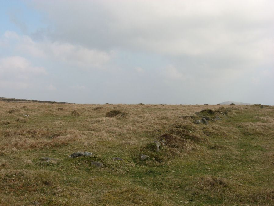
Photo taken on 21-03-2012
Database entries
PDW coverage: Dartmoor Site: Corringdon Ball Chambered Tomb & Stone Rows
OS Map: SX 6636 6126
OS Source: Constructed
HER: MDV5692
Megalithic Portal: 45594
Alternate name: Upper Glazebrook
Short Name: NE Upper Glaze
Butler Vol 5: p.155
Exist: Yes
Record: Unique
Record Source: PDW
Hut Class: No
Lidar: SX 6636 6126
Guide Map: 57
Nearest Bus Stop: South Brent Pool Park (5.3 km) [Route: 38]
Nearby sites: SX 6636 6126
Notes
A rectangular enclosure not far from Corringdon Ball chambered tomb measuring 112m by 34m that can be seen clearly on aerial and satellite photos of the area. The walls are up to 1.5m thick and 0.3m high, and have been entirely destroyed on the east and north-west sides. There is no obvious entrance and the interior is empty of any structure. According to Butler the east to west orientation of the long axis could suggest a mortuary enclosure of mid-neolithic date (Vol 5 pp.155-6).References
These are selected references with an emphasis on out of copyright sources linked as PDFs. For more detailed references try any linked HER or PMD record above.
- Butler, Jeremy, Dartmoor Atlas of Antiquities, vol.5: The Second Millennium B.C., (1997)