
Burford Down Stone Row and Cairns
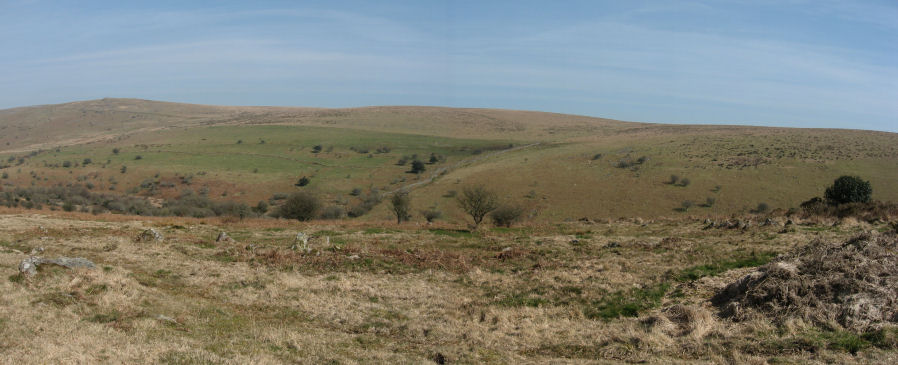
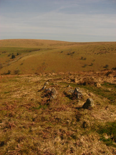
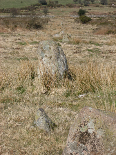
This site is featured on the Ivybridge 2: West Erme - Burford, Stalldown and Erme Rows and Cairns walk. These photos were taken on Burford Down (SX63706017 Butler Vol. 4. Map 54: 2, 17, 4). On Burford Down near Tristis Rock are settlements and two cairns. The first photo here includes the remains of the settlement walls and the eastern most of the two cairns just to the west of Tristis Rock. The second photo is detail from the settlement wall. The cairn has an almost complete outer ring and in the centre is the remaining large slab from a cist.
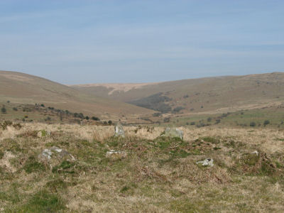
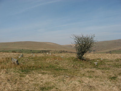
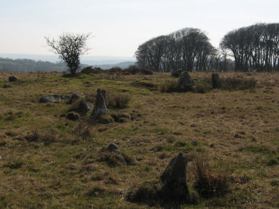
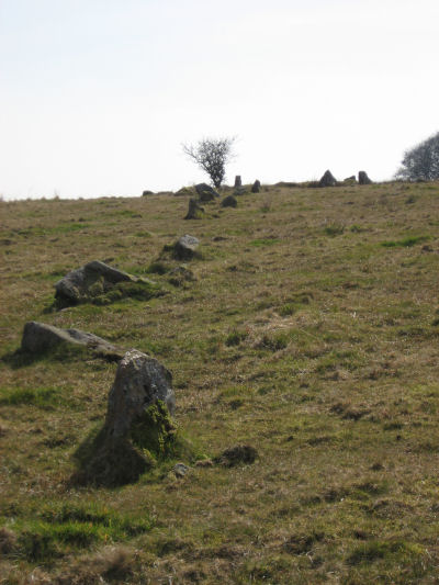
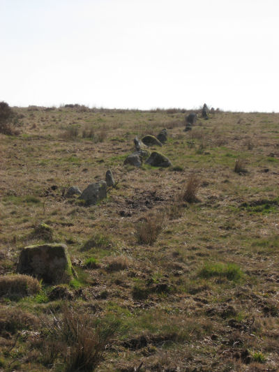
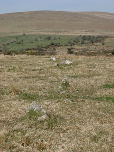
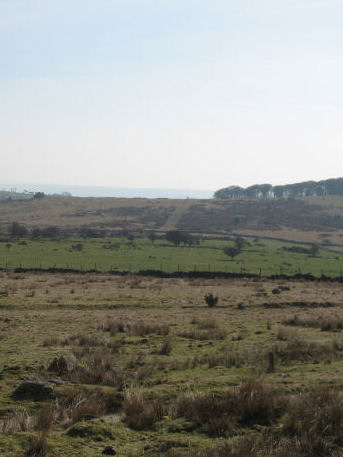
Around 90m to the west are the remains of the cairn that head the Burford Down Cairn Circle and Stone Row. This stone row is one of four stone rows in this vicinity that are over half a kilometre long and approximately north-south in alignment. The others being the Upper Erme, Stalldown and Butterdon Hill stone rows. The row heads northwards down the hill. A small tree/shrub is prominent in the cairn circle and can be seen in many of the photos. The last photo was taken over a kilometre to the north by the settlements on the southern slope of Stalldown. The row can be seen in the distance as an avenue ascending the hill and on the crest of the hill the small tree can just be made out.
These photos were taken on the 19th March 2011.
See also: Guide to Dartmoor Stone Rows
Bibliography & references
Butler, J. Dartmoor Atlas of Antiquities: Vol. 4. - The South-East (Devon Books, 1993)
Burford Down Settlement & Cairn Circle

Burford Down Stone Row & Cairn Circle
Page last updated 5/8/11